

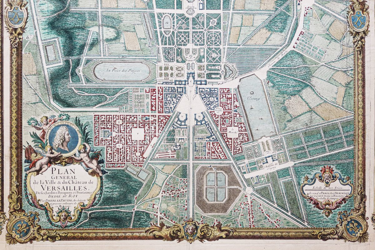
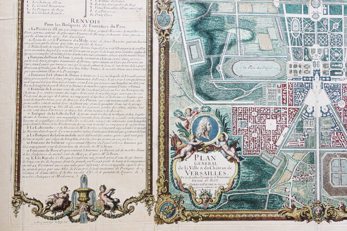


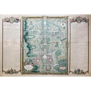


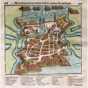
"Monumental Plan Of Versailles"
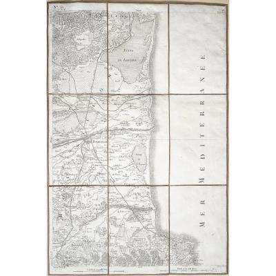
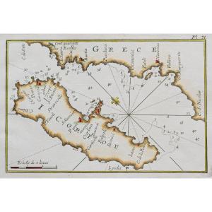
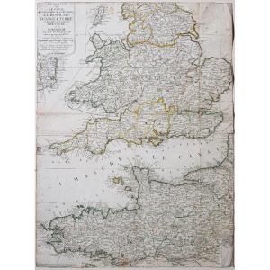
https://cartes-livres-anciens.com/produit/cartes-geographiques-anciennes-original-antique-maps/france/ile-de-france-78-versailles/plan-monumental-de-versailles-ville-et-chateau/Original plan from 1717. Pierre Lepautre Architect. Beautiful watercolor colors. Fine traces of old folds. Very good condition. Sheet size: 124.5 x 85.55 cm. Engraving size: 118 x 80 cm. Original antique plan of 1717. Rare monumental plan describing Versailles and its outbuildings. Large explanatory bands framing the plan with references and remarks for the understanding of the plan, references for the Château and the city, for the groves and fountains of the park. Scale of places, compass, with privilege, dated 1717 at Demortain, Paris at the sign of the beautiful prints. Dedicated to the King by Pierre Lepautre, architect and ordinary engraver of His Majesty. You can consult all the maps, books and engravings available on your region by clicking on the link of our website specialized in old geographical archives: https://cartes-livres-anciens.com/categorie-produit/cartes-geographiques-anciennes-original-antique-maps/france/ile-de-france-78-versailles/ Secure payment by credit card on our website by clicking on the link below: https://cartes-livres-anciens.com/produit/cartes-geographiques-anciennes-original-antique-maps/france/ile-de-france-78-versailles/plan-monumental-de-versailles-ville-et-chateau/All our maps and engravings are accompanied by a certificate of authenticity. Pierre Lepautre (1652–1716) was an engraver and royal architect-designer, a major figure in French ornamentation at the end of the reign of Louis XIV. His work, at the intersection of architecture, engraving and ornament, marks a pivotal step towards the Rococo.


 Le Magazine de PROANTIC
 TRÉSORS Magazine
 Rivista Artiquariato