THIS OBJECT WAS SOLD
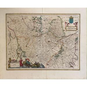
17th Century Map Of Guyenne
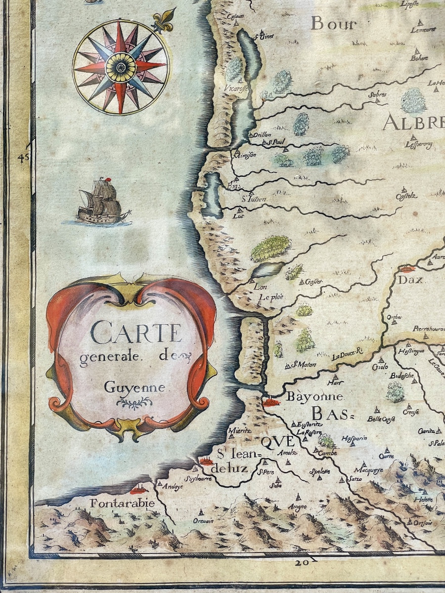
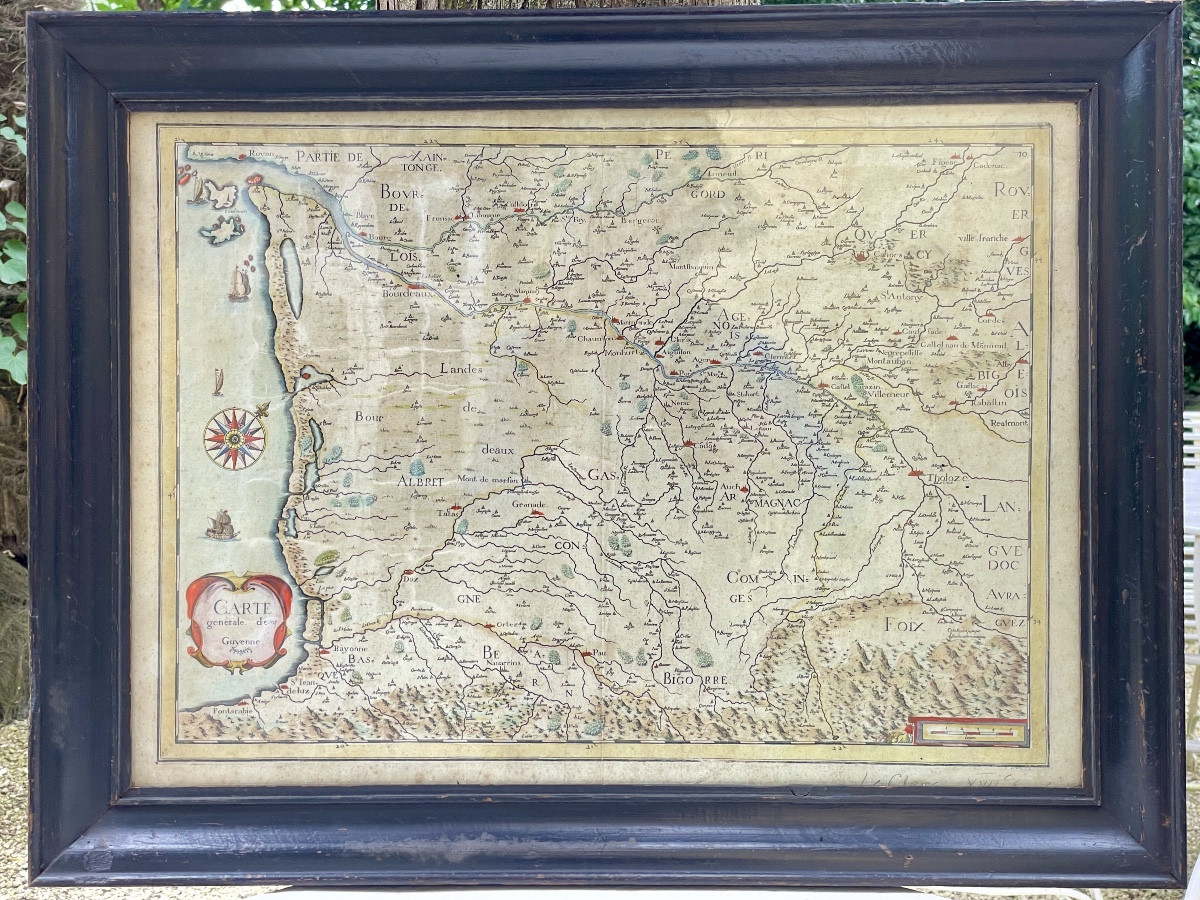

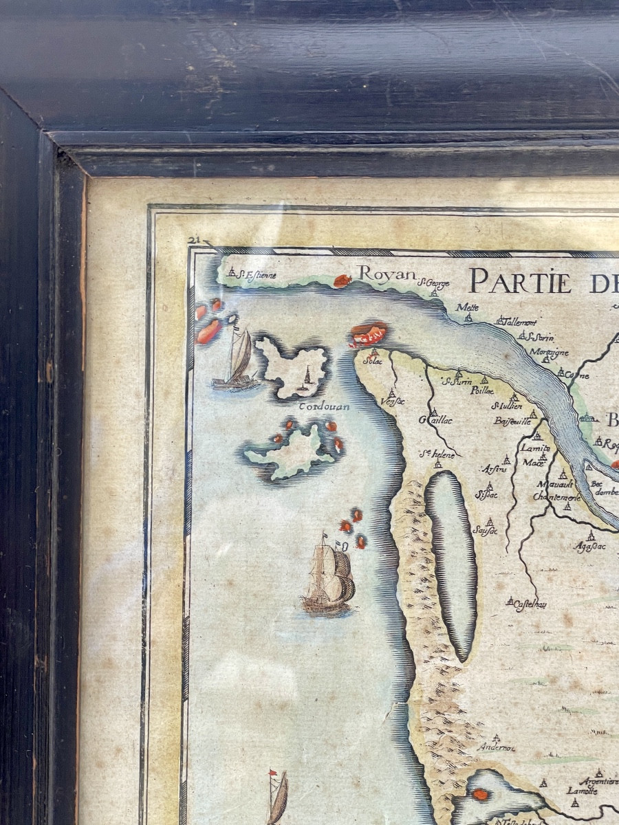


Beautiful colored engraving of Guyenne, one of the largest provinces of France under the Ancien Régime. It included various regions and provinces such as Périgord, Agenais, Quercy, and Rouergue. Very good condition. Later frame in the 17th century style. Blown glass window.
Explore similar pieces and discover your ideal find:
Old Maps