


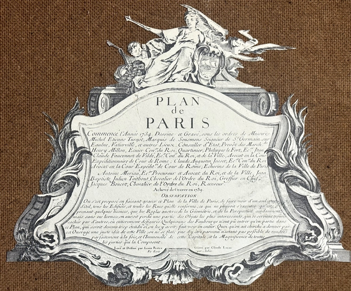
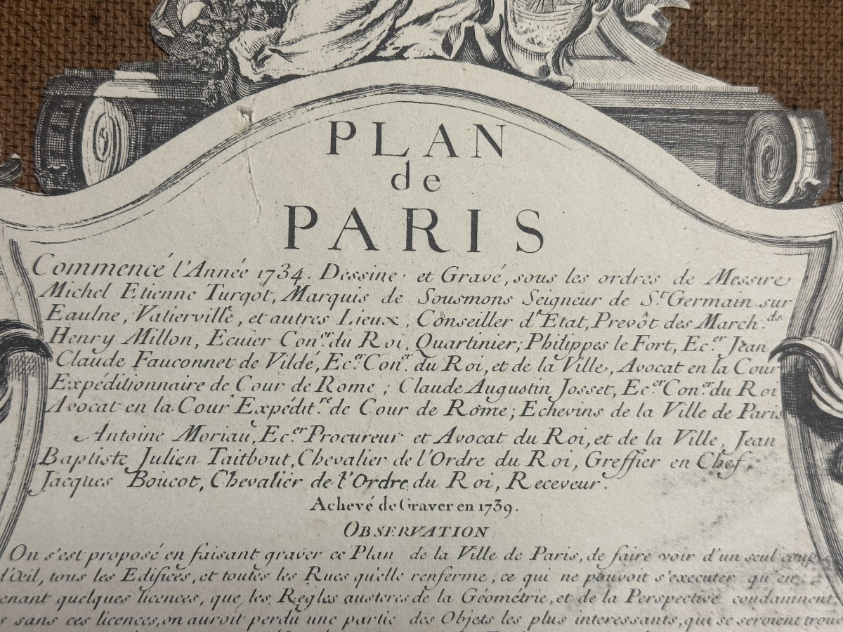


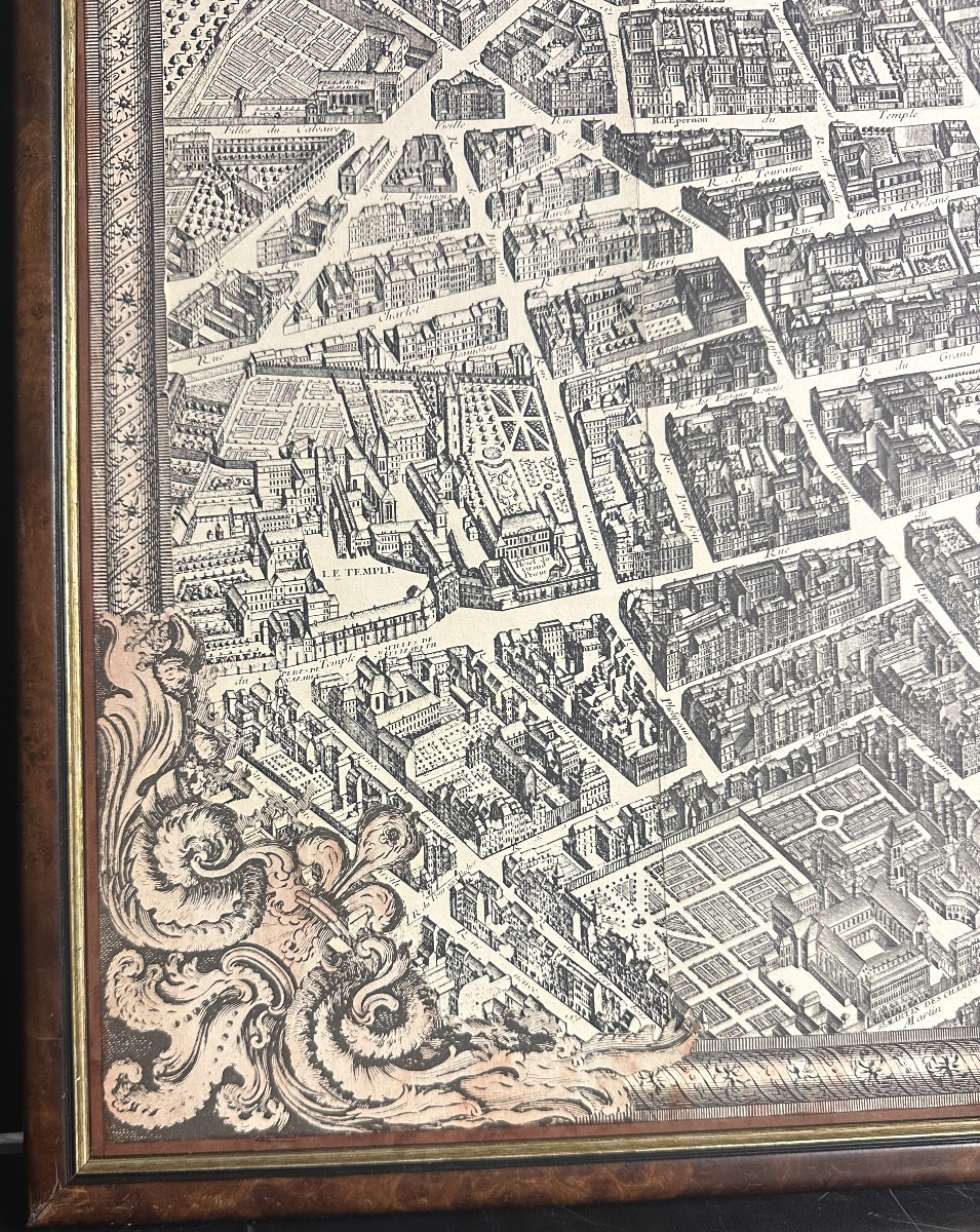
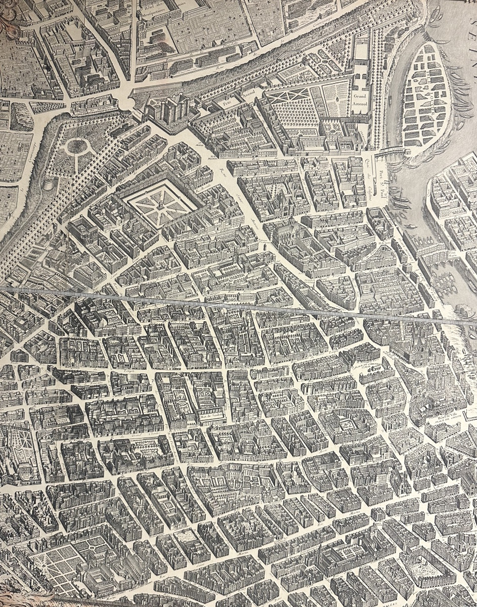


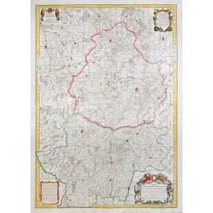
"Turgot - Bretez Map Of Paris 1734-1739 Center Of The Capital 63.5x63.5cm In Very Good Condition "
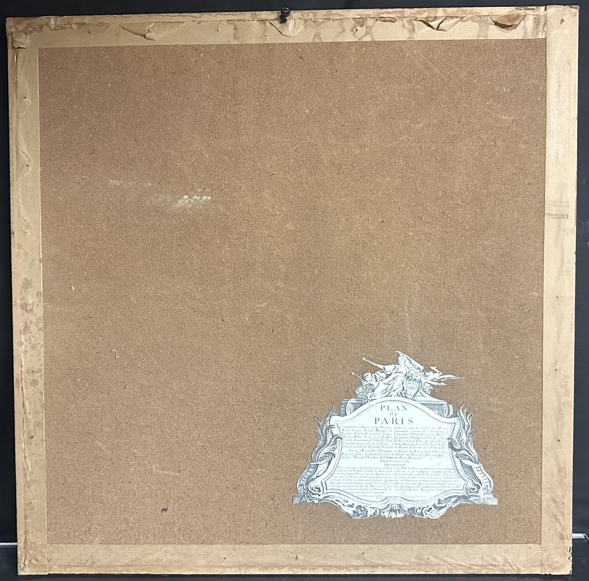
TURGOT (Michel-Etienne) . Louis BRETEZ. Map of Paris, begun in 1734, drawn and engraved under the orders of Turgot, 1739. Old part showing the center of Paris: Place Royale, Pont Marie, Rue Saint-Antoine, the Bastille, the Seine etc ... The explanatory label was cut out and subsequently fixed to the back of a panel. Dimensions:
67 cm x 67 cm (framed).
63.5 cm x 63.5 cm (unframed).
IN VERY GOOD USED CONDITION and presented as in the photos.
You follow my galery to be informed about news ....


 Le Magazine de PROANTIC
 TRÉSORS Magazine
 Rivista Artiquariato