
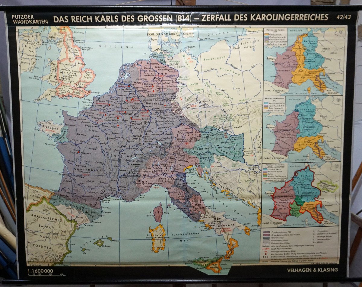
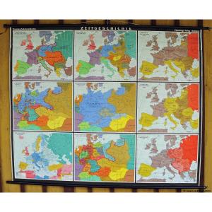
"Vintage Wall Poster History Map Of Europe At The Time Of Charles The Great"
This vintage wall map illustrates the European period of Charles the Great (814) and the disintegration of the Carolingian Empire (with the Treaty of Verdun 843, the Treaty of Meersen 870 and the Treaties of Verdun and Ribemont 879/80) . Published by Putzger. Color print on canvas reinforced paper.The measurements given refer to the canvas only and do not include the poles.
Background information on the history of school wall charts: The idea of improving everyday school life using pictures was supported at the end of the 18th century by Johann Bernhard Basedow. In 1774 he published a four-volume book titled "Elementarwerk", which combined images, text and information with around one hundred copperplate engravings. Modern printing methods allowed the work to spread from wealthy private schools to rural primary schools. From 1820 to 1836, the oldest series of wall maps mentioned were published as six booklets comprising 63 large maps. The early 20th century was the golden age of wall chart publishers. The artists masterfully produced paintings that combined the specific standards of a scientist and the standards given by an educator, to ultimately create a magnificent work of art.
For purchases in Europe, tax rates vary. Please contact us to find out what is in your case. We can ship our products worldwide. Please contact us for shipping costs. You can also pick up the antiques directly from us.
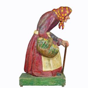
artfour is an owner-managed trading company that sells Black Forest wood carvings, antler furniture and an impressive variety of unique decorative items. Our antiques are displayed in a century-old barn in southern Germany, which we renovated ourselves. Antiques have been our passion since the 1980s. We ship worldwide, perfectly packaged and with a money back guarantee. This allows us to be your preferred partner for the Black Forest and ancient art.


 Le Magazine
 Rivista Artiquariato
 TRÉSORS magazine