
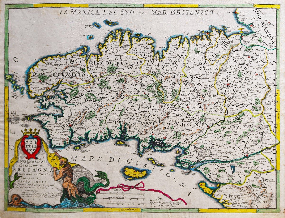


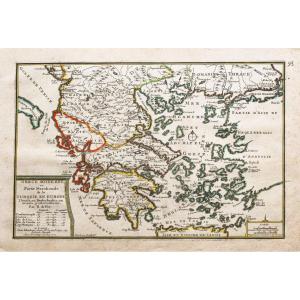
"Old Geographic Map Of The Government Of Brittany"
Governo Gnale del Ducato di Bretagna.Epreuve originale réalisée en 1690. Giacomo Cantelli géographe et Barbey graveur.
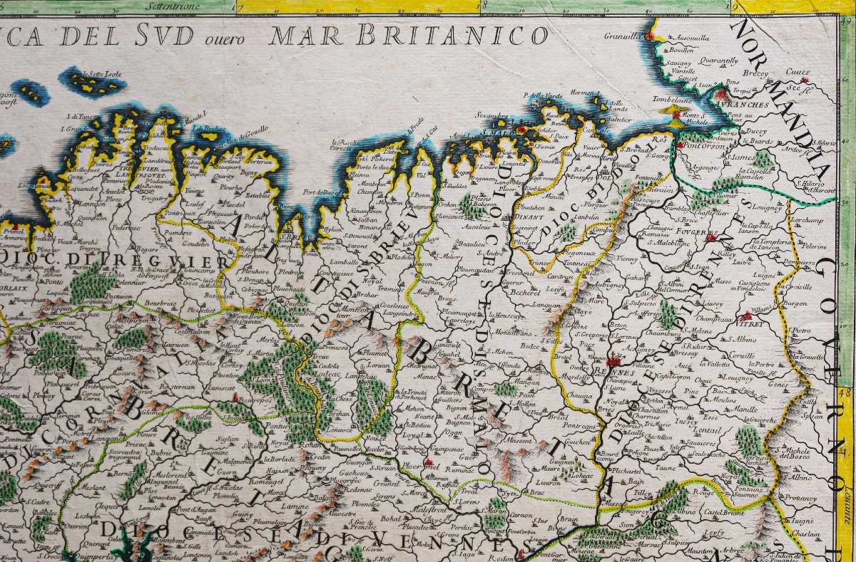
Beaux coloris aquarelle.
Infimes rousseurs dans les marges.
Fines traces de pincement dans le papier d’origine sous la ville de Morlaix.
Très bon état.
Format feuille: 59,5 x 45 cm.
Format gravure: 57 x 43 cm.
Original antique map of 1690.
Carte peu courante du géographe Giacomo Cantelli, installé à Rome à la fin du 17èmesiècle. Il travailla avec les meilleurs graveurs de l’époque: Falda, Widman, Barbey, Lhuillier, Donia et Mariotti.
Vous pouvez consulter l’ensemble des cartes, livres et gravures disponibles sur votre région en cliquant sur le lien de notre site internet spécialisé en archives anciennes géographiques :
https://cartes-livres-anciens.com/categorie-produit/cartes-geographiques-anciennes-original-antique-maps/france/bretagne/
Règlement sécurisé par carte bancaire sur notre site internet:
https://cartes-livres-anciens.com/produit/cartes-geographiques-anciennes-original-antique-maps/france/bretagne/carte-geographique-ancienne-du-gouvernement-de-bretagne/
Toutes nos cartes et gravures sont accompagnées d’un certificat d’authenticité.
Governo Gnale del Ducato di Bretagna. Original proof produced in 1690. Giacomo Cantelli geographer and Barbey engraver. Beautiful watercolor colors. Tiny foxing in the margins. Thin traces of pinching in the original paper under the town of Morlaix. Very good state. Sheet size: 59.5 x 45 cm. Engraving format: 57 x 43 cm. Original antique map from 1690. Uncommon map by geographer Giacomo Cantelli, settled in Rome at the end of the 17th century. He worked with the best engravers of the time: Falda, Widman, Barbey, Lhuillier, Donia and Mariotti. You can consult all the maps, books and engravings available in your region by clicking on the link of our website specializing in ancient geographic archives: https://cartes-livres-anciens.com/categorie-produit/cartes-geographique -anciennes-original-antique-maps / france / bretagne / Secure payment by credit card on our website: https://cartes-livres-anciens.com/produit/cartes-geographique-anciennes-original-antique-maps/france / brittany / old-geographic-map-of-the-government-of-Brittany / All our maps and engravings are accompanied by a certificate of authenticity.


 Le Magazine de PROANTIC
 TRÉSORS Magazine
 Rivista Artiquariato