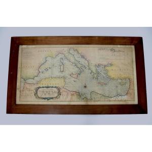
Richard William Seale, Map Of The Mediterranean Basin, Mid-18th Century, Refm1187
Richard William Seale, Map Of The Mediterranean Basin, Mid-18th Century, Refm1187-photo-2
Richard William Seale, Map Of The Mediterranean Basin, Mid-18th Century, Refm1187-photo-3
Richard William Seale, Map Of The Mediterranean Basin, Mid-18th Century, Refm1187-photo-4
Richard William Seale, Map Of The Mediterranean Basin, Mid-18th Century, Refm1187-photo-1
Richard William Seale, Map Of The Mediterranean Basin, Mid-18th Century, Refm1187-photo-2
Richard William Seale, Map Of The Mediterranean Basin, Mid-18th Century, Refm1187-photo-3
Richard William Seale, Map Of The Mediterranean Basin, Mid-18th Century, Refm1187-photo-4
Richard William Seale, Map Of The Mediterranean Basin, Mid-18th Century, Refm1187-photo-5
Richard William Seale, Map Of The Mediterranean Basin, Mid-18th Century, Refm1187-photo-6
Richard William Seale, Map Of The Mediterranean Basin, Mid-18th Century, Refm1187-photo-7
Richard William Seale, Map Of The Mediterranean Basin, Mid-18th Century, Refm1187-photo-8

Richard William Seale, Map Of The Mediterranean Basin, Mid-18th Century, Refm1187

Artist: Richard William


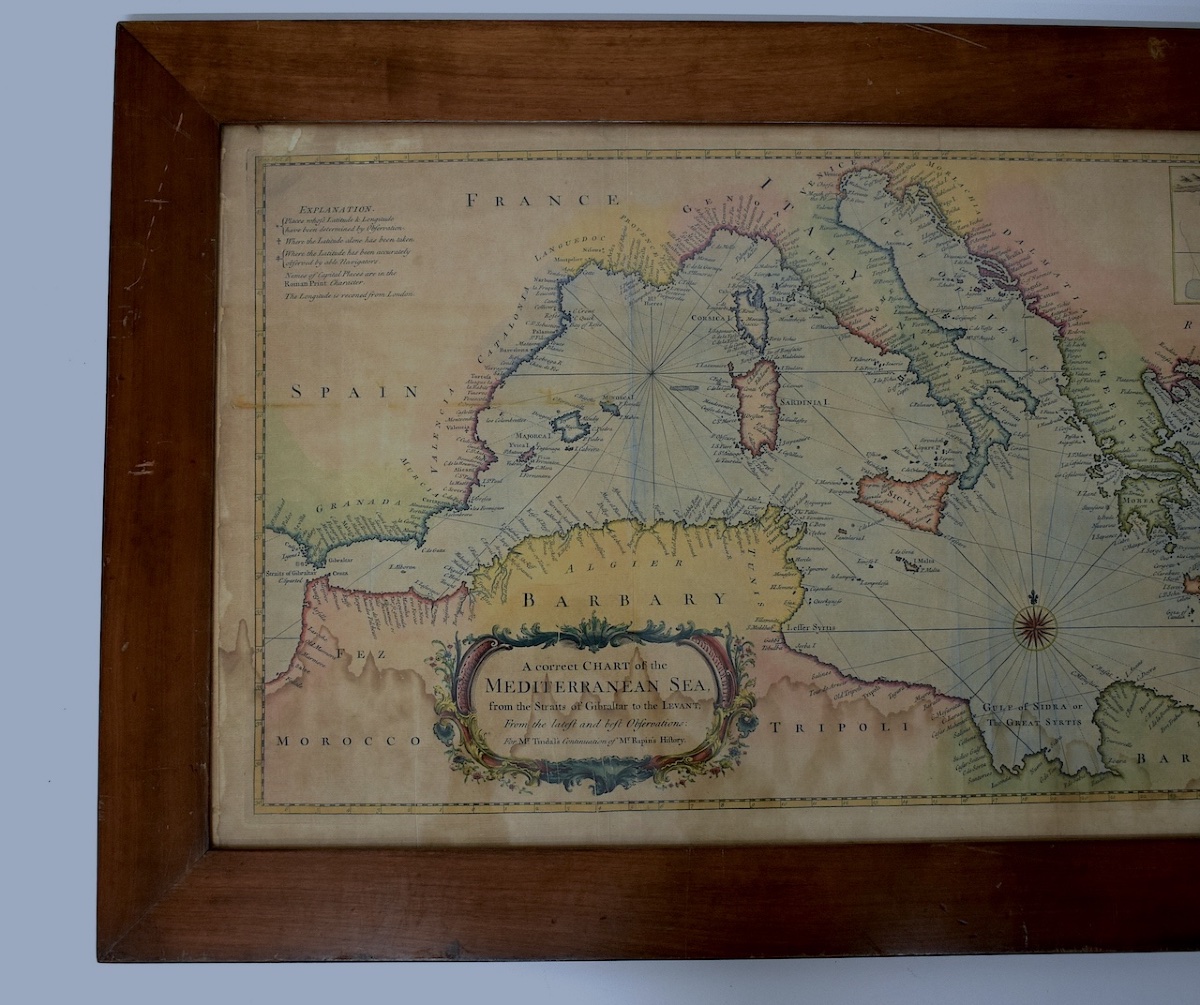
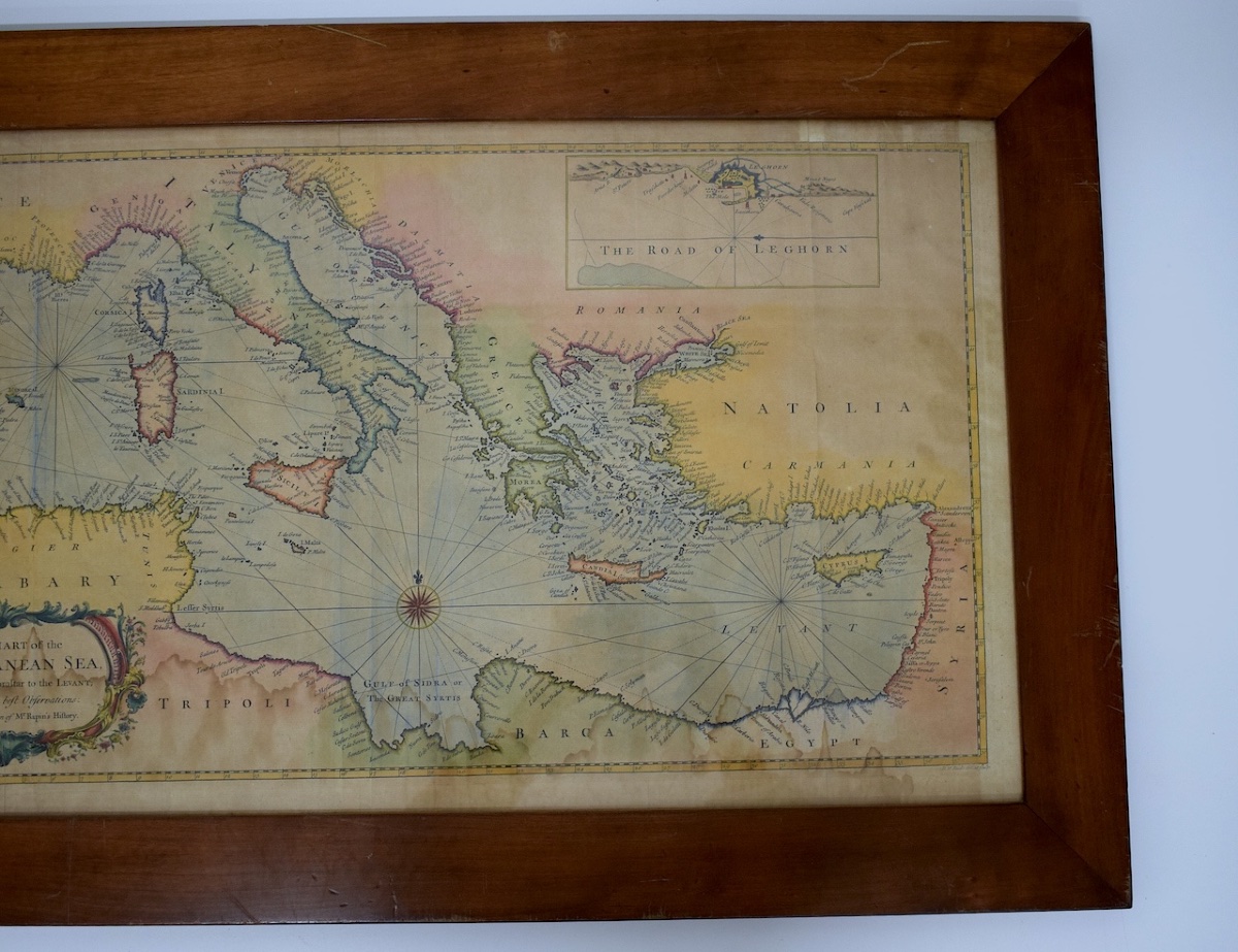
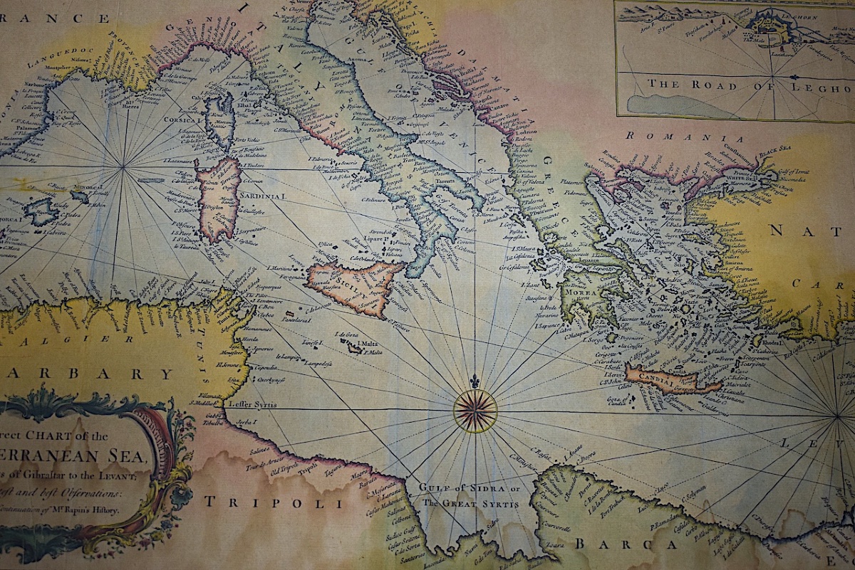
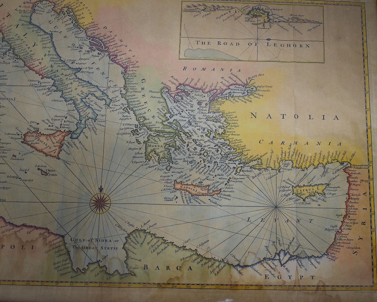
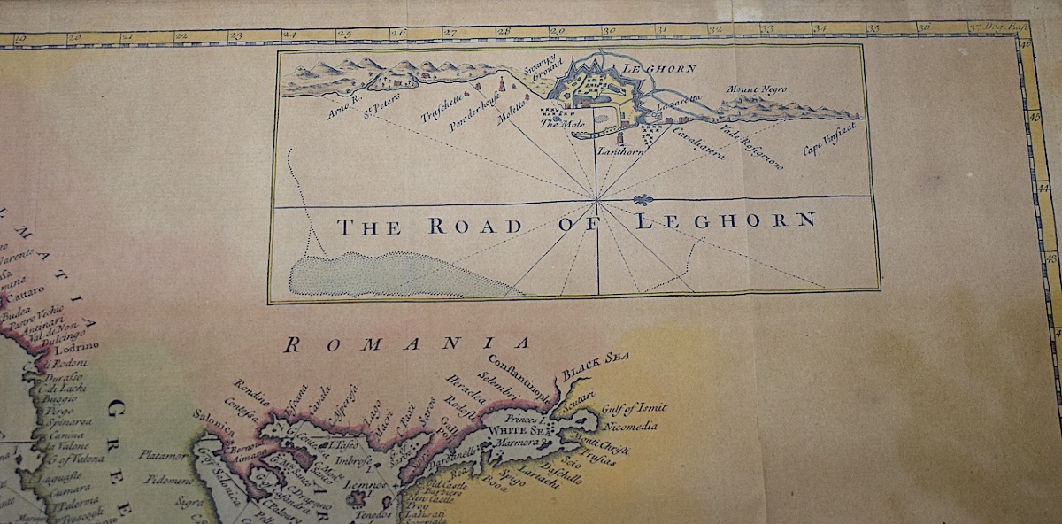
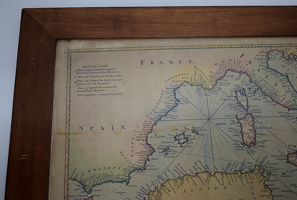
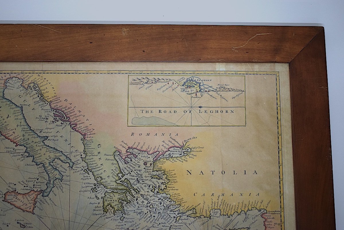
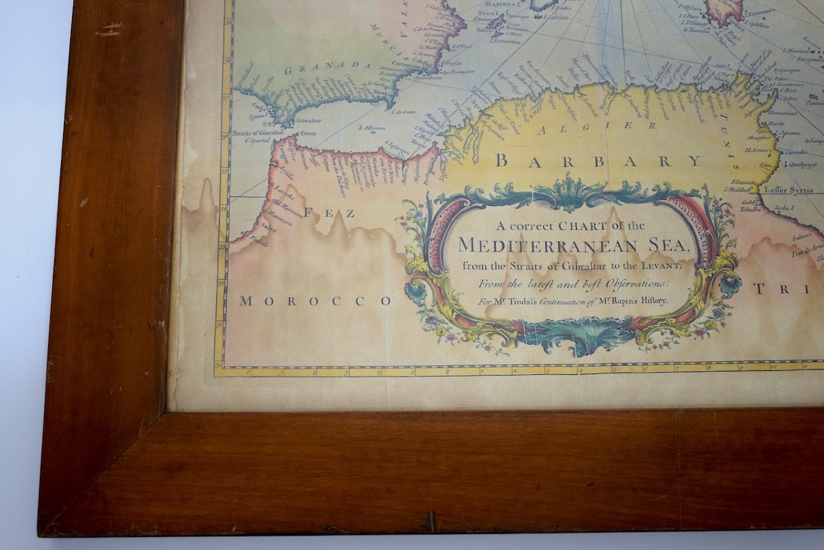
English nautical map of the Mediterranean basin and the countries bordering it; this is an original engraving from the mid-18th century, mounted under glass in a light mahogany frame.

It was designed by Richard William Seale between 1745 and 1750 for the work by M. Tindal.

The colors seen here were applied by hand.

Period: mid-18th century.

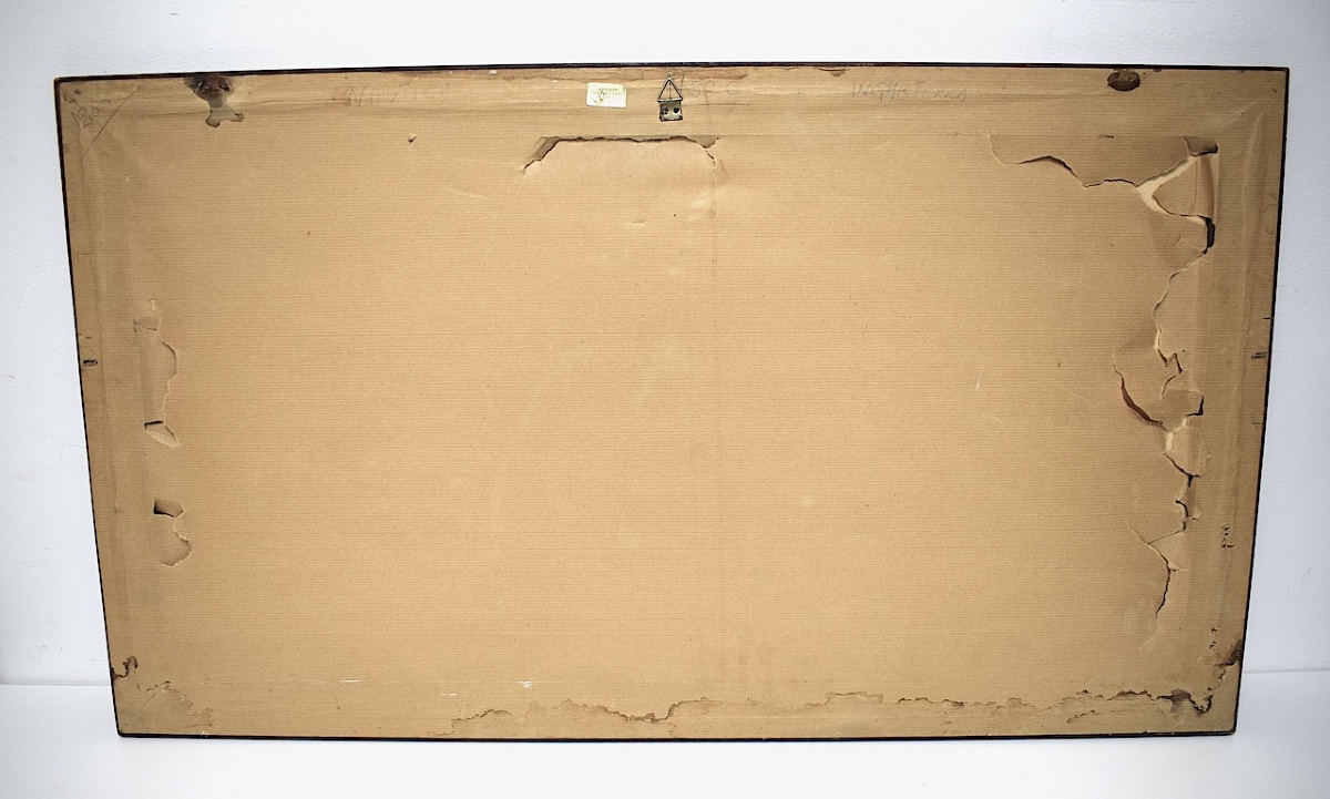
Condition upon discovery: Generally in good condition; no tears, just slight water stains visible at the bottom of the map. Frame: in good condition, with some normal wear on the frame (see photos)

Dimensions with frame: 86.2 x 49 cm.

Dimensions of the map itself: 74.8 x 37.8 cm.

Thickness: 2 cm.

Weight: 3.230 kilograms.


SHIPPING:

To find out the shipping costs before purchasing, click “Buy Online” and select your country, or contact us by email.

Carefully packaged.

Shipped via Colissimo with tracking, domestic and international, registered with insurance.


PAYMENT: 800

Payment methods: French check, bank transfer, PayPal, or credit card (via PayPal).


HAVE A QUESTION? :

French speakers: by phone or email.

Non-French speakers: by email; please specify your country.

Phone: Cell 06 12 60 39 35


350 €
credit

Period: 18th century

Style: Other Style

Condition: Good condition

Material: Paper

Length: dimensions avec cadre  : 86,2 x 49 cm.

Width: dimensions carte à la vue  : 74,8 x 37,8 cm.

Reference (ID): 1842824

Availability: In stock

Print

RIBEYRON ALAIN : 8 bis rue du Puits Marel
VERGÈZE 30310, France

06 12 60 39 35

Follow the dealer

CONTACT

SIGN UP TO OUR NEWSLETTER

facebook
instagram

A Coté Antiquités
Richard William Seale, Map Of The Mediterranean Basin, Mid-18th Century, Refm1187
1842824-main-6ad9027312c33.jpg

06 12 60 39 35


*We will send you a confirmation email from info@proantic.com .
Please check your messages, including the spam folder.