THIS OBJECT WAS SOLD
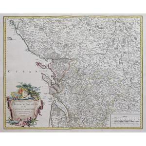
18th-century Map Of Italy
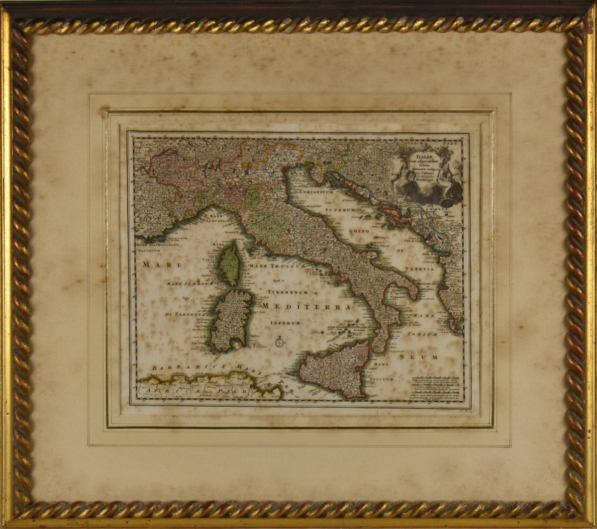

18th-century map of Italy
Copperplate engraving with watercolor on paper
29.5 x 36 cm
Copperplate engraving with watercolor on paper
29.5 x 36 cm
Explore similar pieces and discover your ideal find:
Old Maps