this object was sold
line

Old Map Of Santo Domingo

Sold
Old Map Of Santo Domingo
Sold
Old Map Of Santo Domingo -photo-2
Sold
Old Map Of Santo Domingo -photo-3
Sold
Old Map Of Santo Domingo -photo-4
Sold
Old Map Of Santo Domingo -photo-1
pictures.

Object description :

"Old Map Of Santo Domingo "
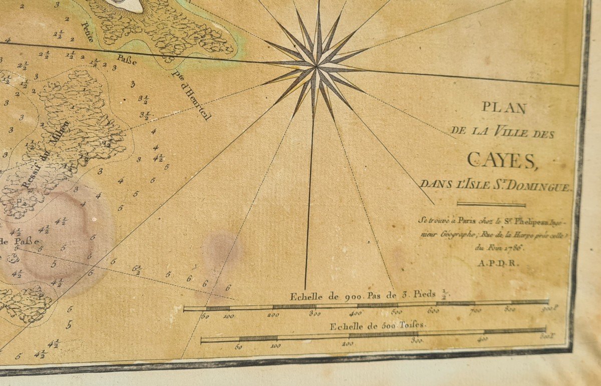
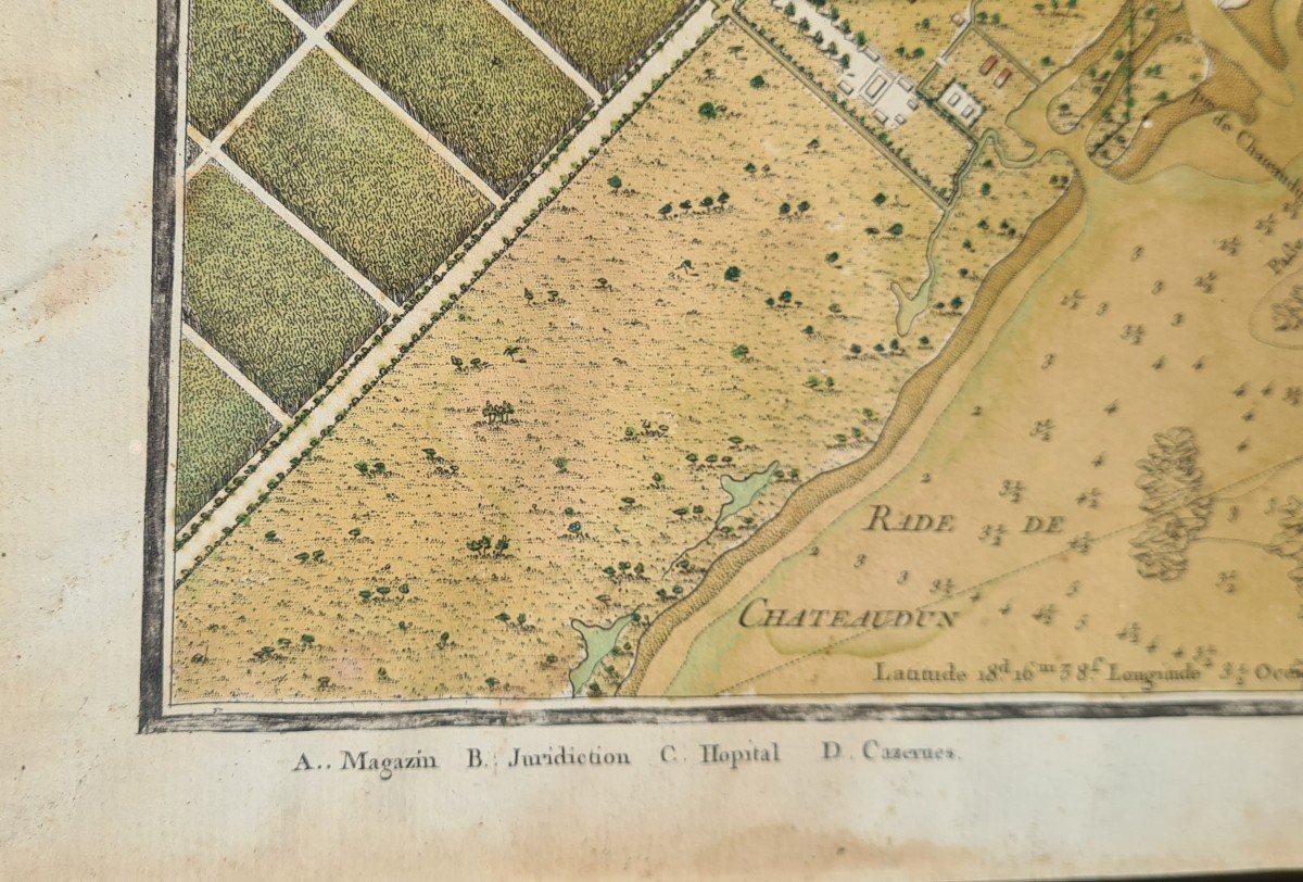
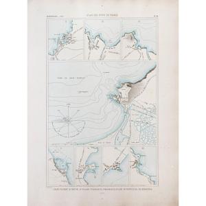
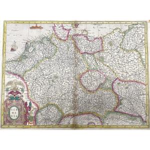
Beautiful 1786 map colored in watercolor of the city of Cayes on the island of Saint Domingue. The cartouche on the right indicates that it is available from Dr. Phelipeau, geographer engineer, rue de la Harpe. It is framed in a natural wood frame and measures 40.8x49.2 cm in its absence.

View more from this dealer

View more - Old Maps

Subscribe to newsletter
line
facebook
pinterest
instagram

18 antiquités
Tableau et dessin

Old Map Of Santo Domingo
1504840-main-67cd39b7334a6.jpg

0616985782


*We will send you a confirmation email from info@proantic.com Please check your messages, including the spam folder.

Thank you! Your submission has been received!

Oops! Something went wrong while submitting the form