
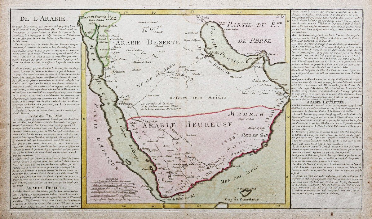
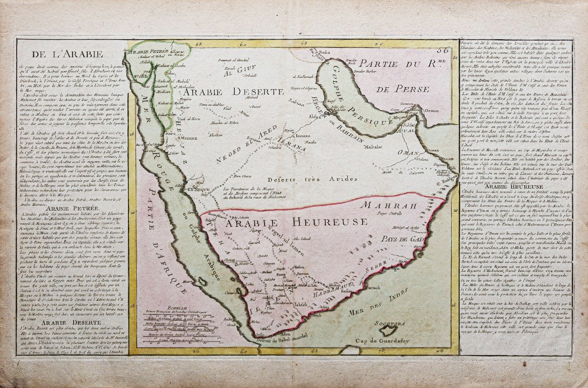
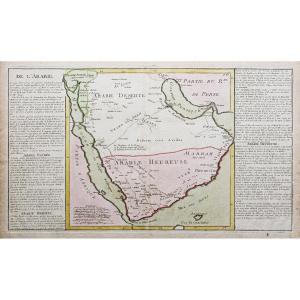

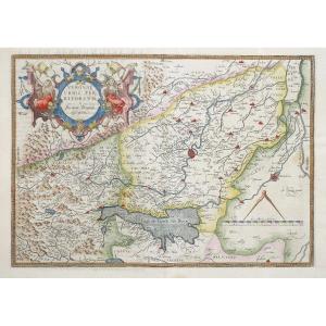
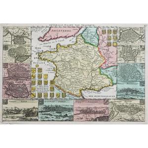
"Ancient Geographic Map Of Arabia"
Epreuve originale réalisée en 1787. Clouet cartographe.Coloris aquarelle.
Rousseurs claires dans la mer des Indes et au niveau du pli central.
Bon état.
Format feuille : 57,5 x 38,5 cm.
Format gravure : 55 x 32 cm.
Original antique map of 1787.
Descriptif de part autre de la carte expliquant l’histoire de chaque région.
Vous pouvez consulter l’ensemble des cartes, livres et gravures disponibles sur votre région en cliquant sur le lien de notre site internet spécialisé en archives anciennes géographiques :
https://cartes-livres-anciens.com/categorie-produit/cartes-geographiques-anciennes-original-antique-maps/moyen-orient/emirats-qatar-arabiesaoudite/
Règlement sécurisé par carte bancaire sur notre site internet en cliquant sur le lien ci-dessous :
https://cartes-livres-anciens.com/produit/cartes-geographiques-anciennes-original-antique-maps/moyen-orient/emirats-qatar-arabiesaoudite/carte-geographique-ancienne-de-larabie/
Toutes nos cartes et gravures sont accompagnées d’un certificat d’authenticité.
Original proof made in 1787. Clouet cartographer. Watercolor colors. Light foxing in the Indian Sea and at the central fold. Good condition. Sheet size: 57.5 x 38.5 cm. Engraving format: 55 x 32 cm. Original antique map of 1787. Description on the other side of the map explaining the history of each region. You can consult all the maps, books and engravings available in your region by clicking on the link to our website specializing in ancient geographical archives: https://cartes-livres-anciens.com/categorie-produit/cartes-gegraphiques -Ancienes-original-antique-maps/moyen-orient/emirats-qatar-arabiesaoudite/ Secure payment by credit card on our website by clicking on the link below: https://cartes-livres-anciens.com/produit /old-geographic-maps-original-antique-maps/middle-east/emirates-qatar-audi-arabia/old-geographic-map-of-arabia/ All our maps and engravings are accompanied by a certificate of authenticity.


 Le Magazine
 Rivista Artiquariato
 TRÉSORS magazine