


Atlas De France - Dezauche Cartographer - 1794
Artist: Dezauche
Chez Dezauche in Paris, successor to Delisle and Buache, undated, 1794.
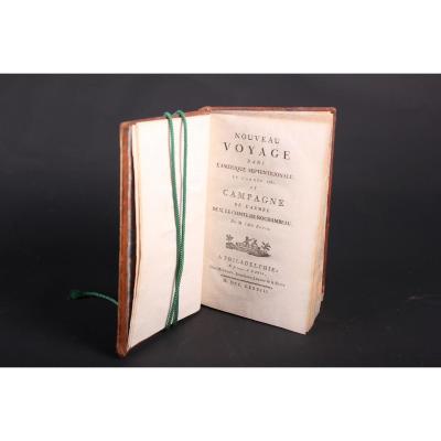
1 large folio volume (55 x 39cm).
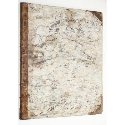
Soft cardboard of the time, tan half-sheepskin with corners.
Classic wear on the edges of dishes, classic to this kind of work. 1 split cap on 2 cm.
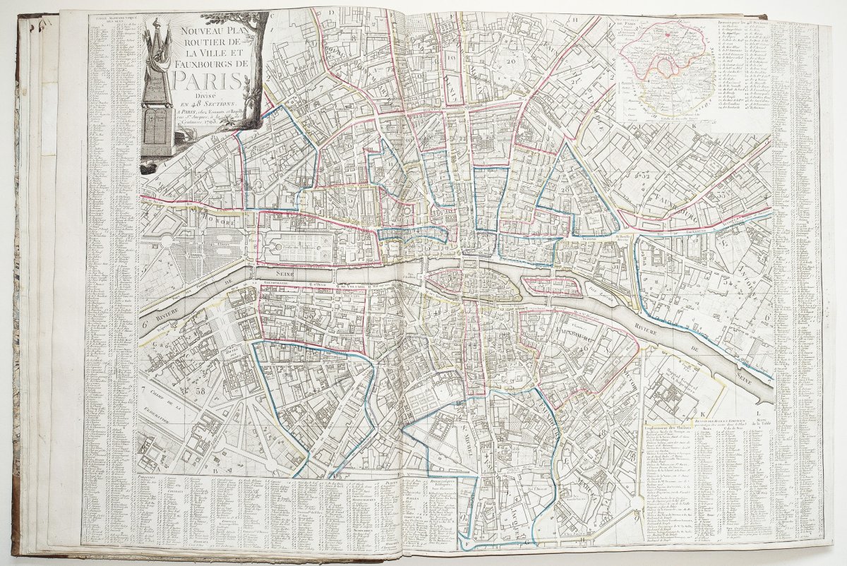
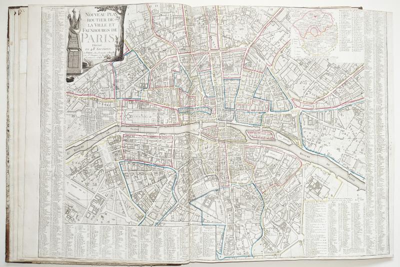
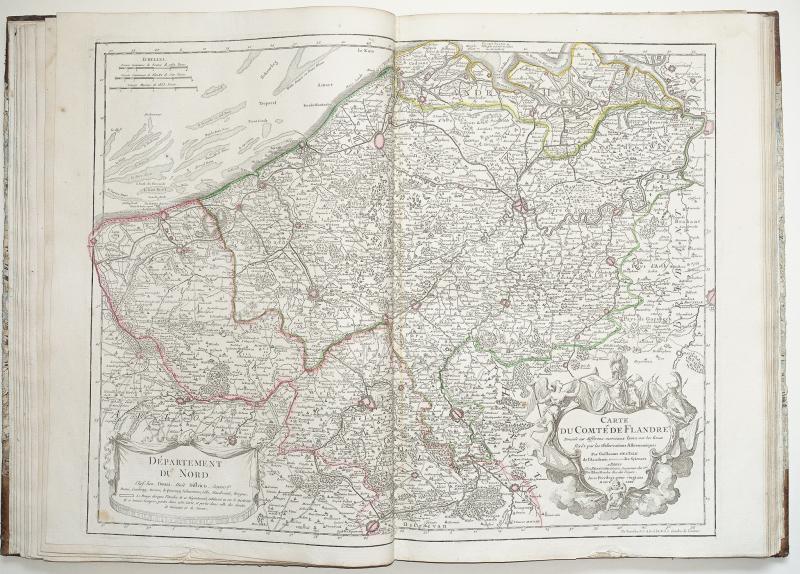
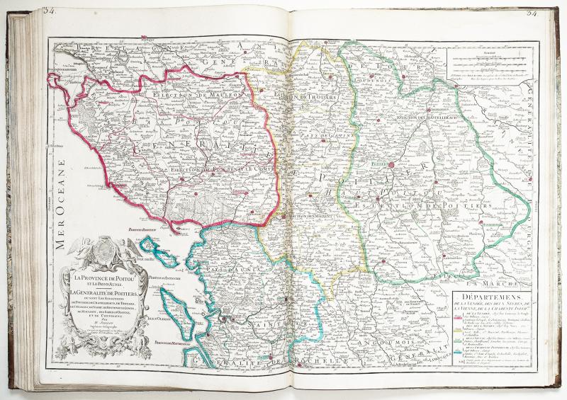
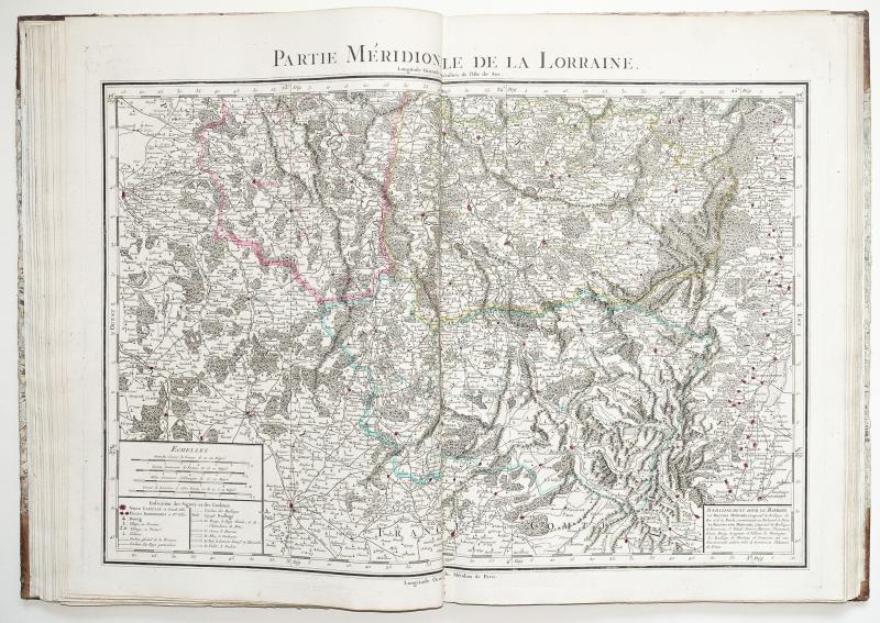
Full of 35 maps on the table.
Good general condition of the maps.
Colorful boundaries of the time.
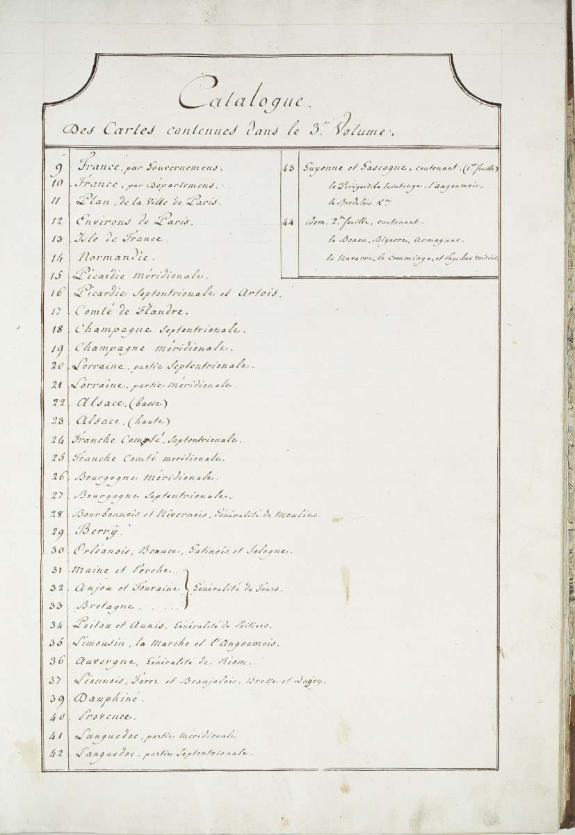
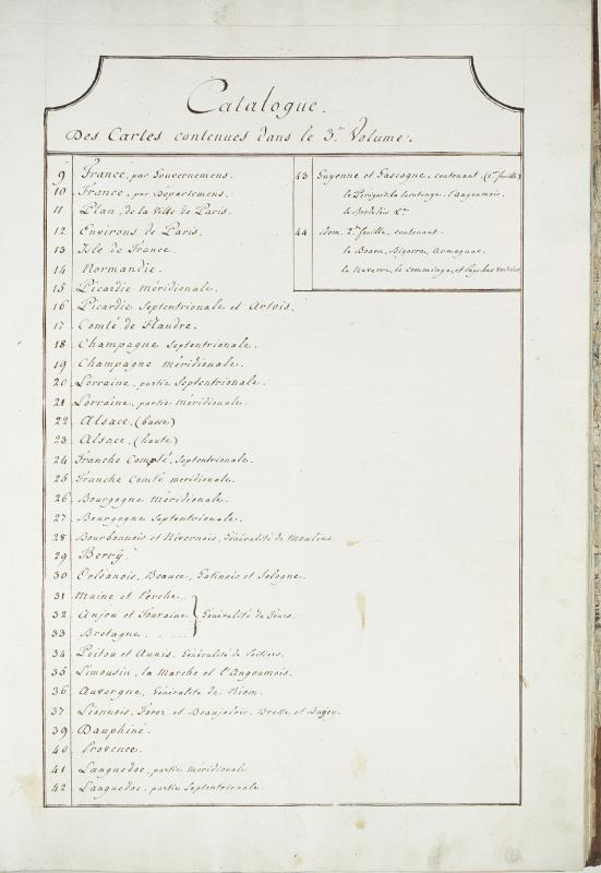
Pleasant copy A handwritten table entitled: catalog of maps in the 3rd volume.
Table of maps from 9 to 44. (The numbering goes from 37 to 39).
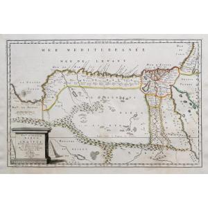
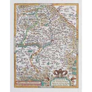
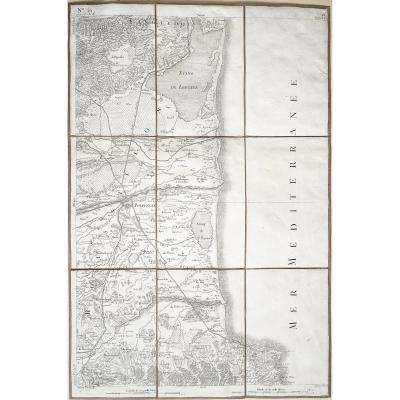
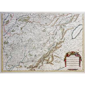
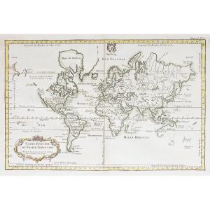
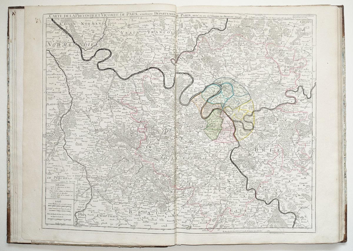
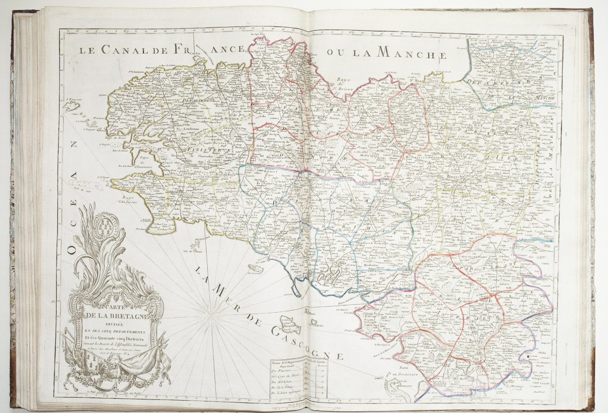
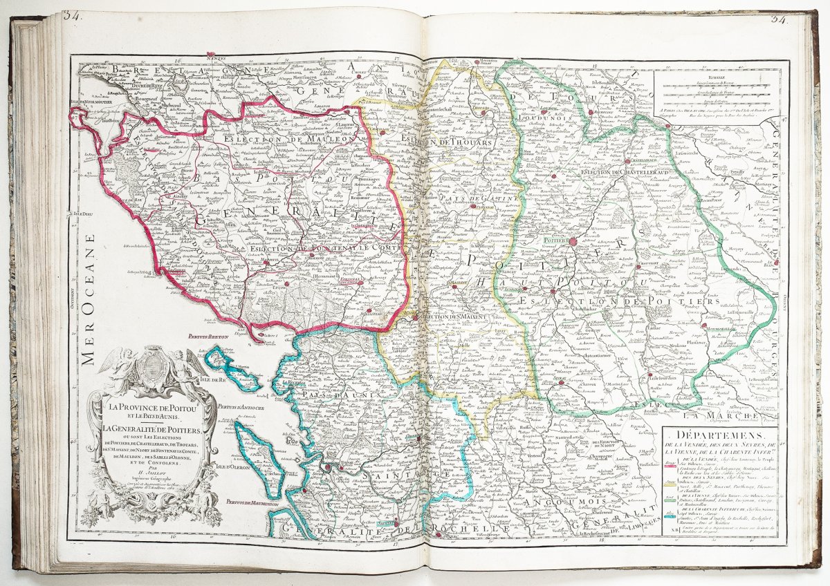
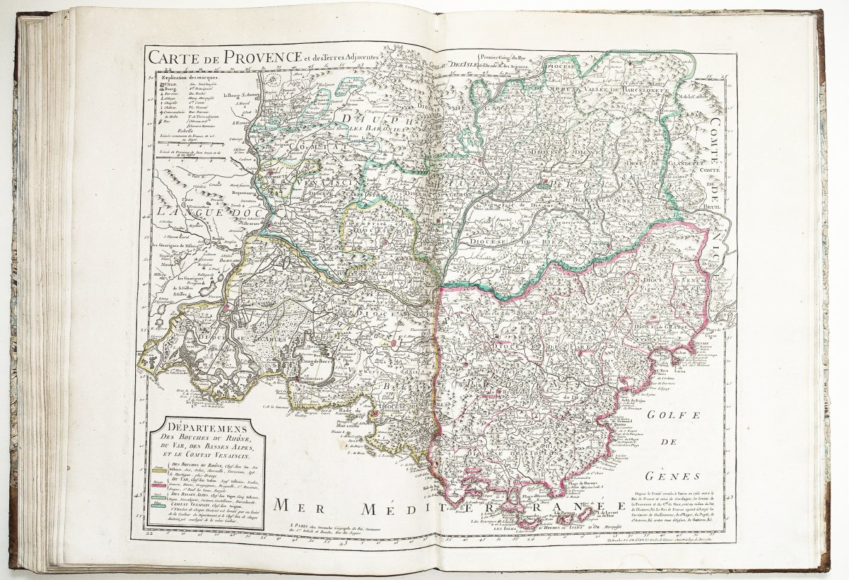
Dezauche brings together in this atlas a set of the first maps of the French departments by regions. He will work for this new edition on the existing background maps of Delisle, dated around the 1780s. The engravers will reuse the existing brass instruments which they will modify with a new engraved layout of the departments and a new warning insert for the explanation of the departments then colored in watercolor. The new map of France illustrating the departments of Dezauche dated 1794 is entitled: Map of France following its new division, drawn up on the same scale as the map of the provinces of Guillaume Delisle. By Dezauche, engineer geographer, 1794.
You can consult all the maps, books and engravings available in your region by clicking on the link of our website specializing in ancient geographic archives:https://www.cartes-livres-anciens.com
Secure payment options by bank card on our website: https://cartes-livres-anciens.com/produit/livres/regionalisme/atlas-de-france-dezauche-cartographe-1794/
1 large folio volume (55 x 39cm).
Soft cardboard of the time, tan half-sheepskin with corners.
Classic wear on the edges of dishes, classic to this kind of work. 1 split cap on 2 cm.
Full of 35 maps on the table.
Good general condition of the maps.
Colorful boundaries of the time.
Pleasant copy A handwritten table entitled: catalog of maps in the 3rd volume.
Table of maps from 9 to 44. (The numbering goes from 37 to 39).
Dezauche brings together in this atlas a set of the first maps of the French departments by regions. He will work for this new edition on the existing background maps of Delisle, dated around the 1780s. The engravers will reuse the existing brass instruments which they will modify with a new engraved layout of the departments and a new warning insert for the explanation of the departments then colored in watercolor. The new map of France illustrating the departments of Dezauche dated 1794 is entitled: Map of France following its new division, drawn up on the same scale as the map of the provinces of Guillaume Delisle. By Dezauche, engineer geographer, 1794.
You can consult all the maps, books and engravings available in your region by clicking on the link of our website specializing in ancient geographic archives:https://www.cartes-livres-anciens.com
Secure payment options by bank card on our website: https://cartes-livres-anciens.com/produit/livres/regionalisme/atlas-de-france-dezauche-cartographe-1794/
2 600 €
Period: 18th century
Style: Louis 16th, Directory
Condition: Good condition
Material: Paper
Reference (ID): 599848
Availability: In stock
Print