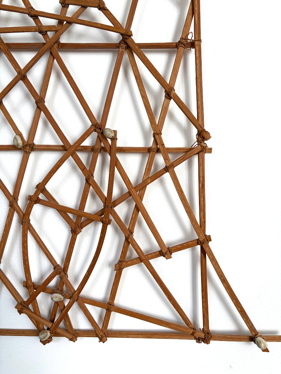
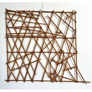


"rebbelib" Nautical Chart - Marshall Islands
MarshallIslands, first half of the 20th century.
Traditional “rebbelib” nautical map, madeof wooden sticks and plant fibers fastened together with cowrie shells.
Dimensions: 63 × 71 cm
Condition: signs of wear and use. Previous indigenous repairswith replacement of some fibers.
Provenance: former American collection, Florida.
Price: €8,500
8 500 €
Period: 20th century
Style: Tribal Art
Condition: Good condition
Reference (ID): 1819774
Availability: In stock
Print