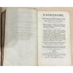


2 19th Century Atlases
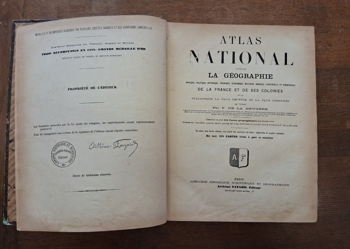
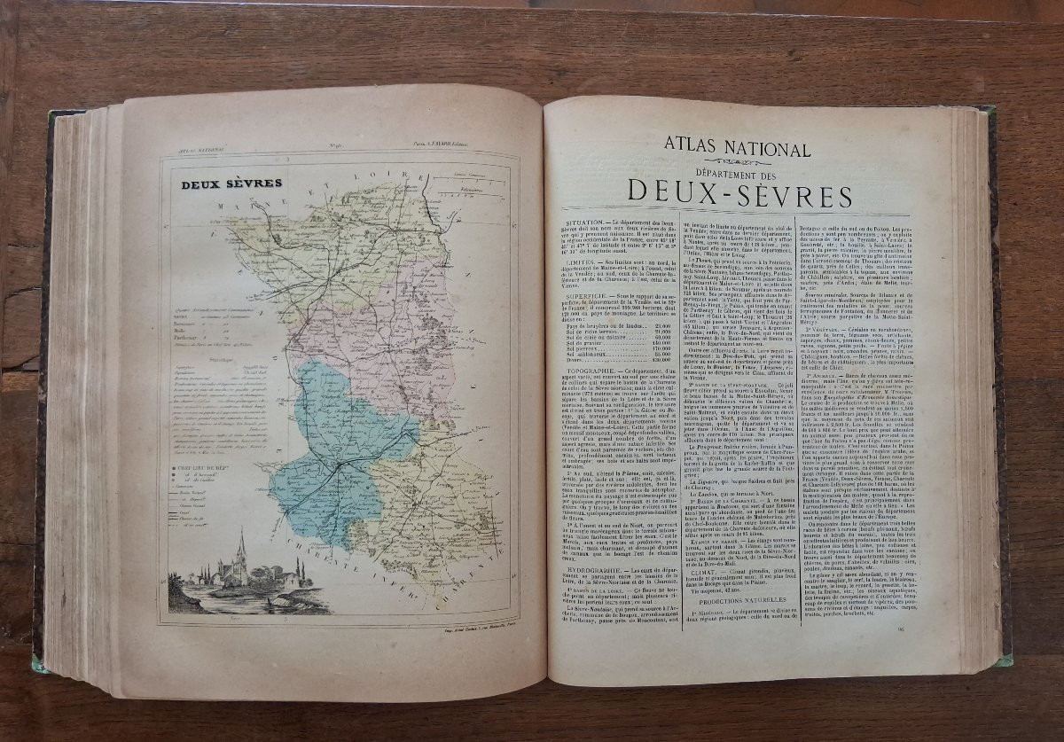
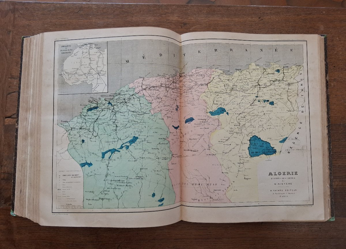
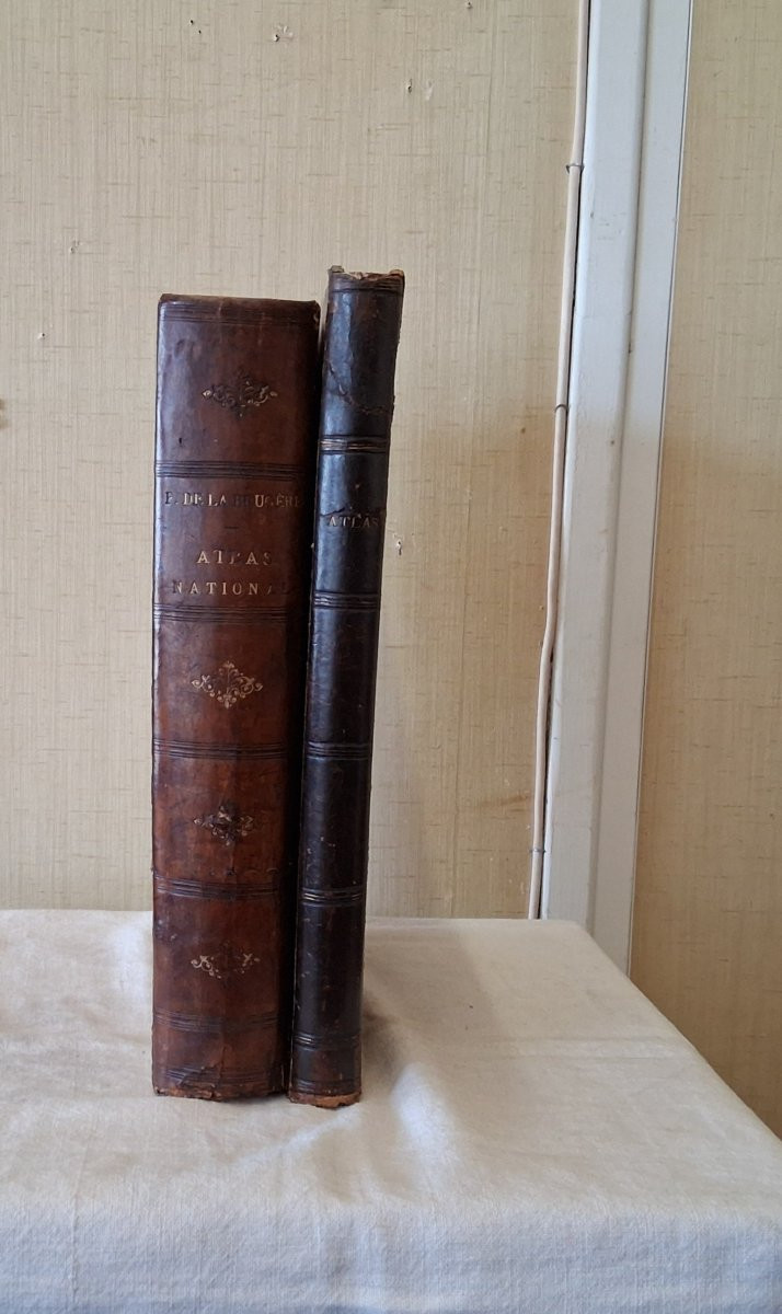
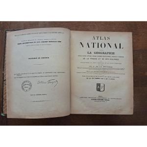
- Atlas national de la géographie physique, politique, historique, théorique, économique, militaire, agricole, industrielle et commerçiale - 1896 - numerous engravings, 115 colored maps
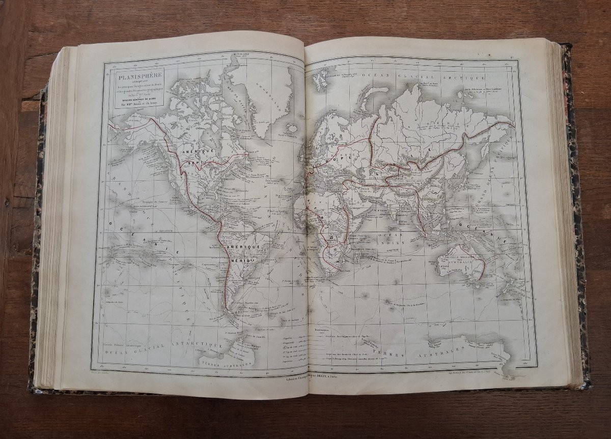
- Atlas universel de géographie par Drioux et leroy - 1896 - 76 colored maps
Good condition
Height 32cm
Width 26cm
130 euros
- Atlas universel de géographie par Drioux et leroy - 1896 - 76 colored maps
Good condition
Height 32cm
Width 26cm
130 euros
130 €
Period: 19th century
Style: Other Style
Condition: Good condition
Width: 26cm
Height: 32cm
Reference (ID): 1740357
Availability: In stock
Print