THIS OBJECT WAS SOLD
Illustrated National Atlas Of France / 1869

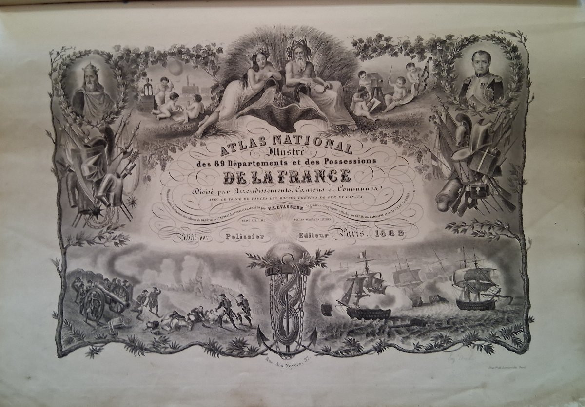
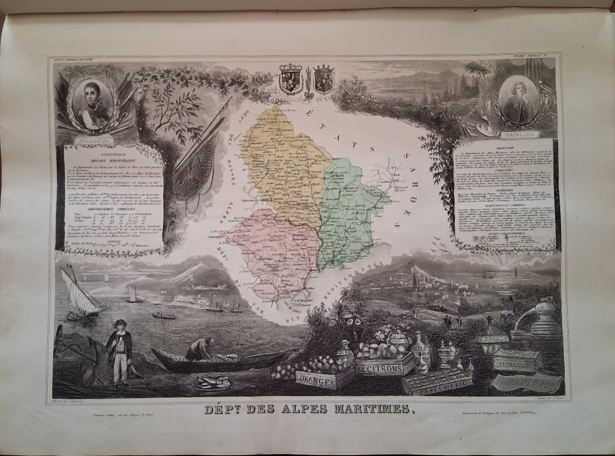


Illustrated National Atlas of France by Levasseur, 1869. 89 color maps of the departments, 6 maps of the French colonies, 1 planisphere map, 6 world maps. Contemporary binding. Good condition. Height 53cm, Width 39cm. 120 euros
Explore similar pieces and discover your ideal find:
Old Books
![[zoology]. Lameere (auguste). Summary Of Zoology. 20th](https://www.proantic.com/galerie/le-grenier-du-moulin/img/small/1553123-main-683d9d3ff1483.jpg)