


Old Atlas - France
Artist: Desnos
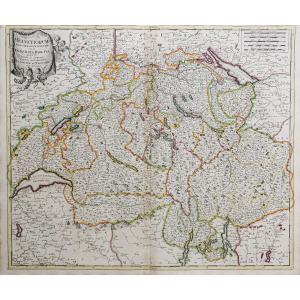
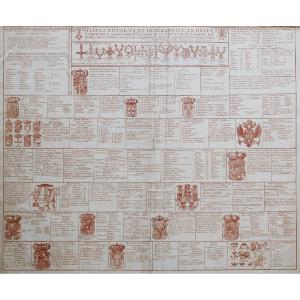
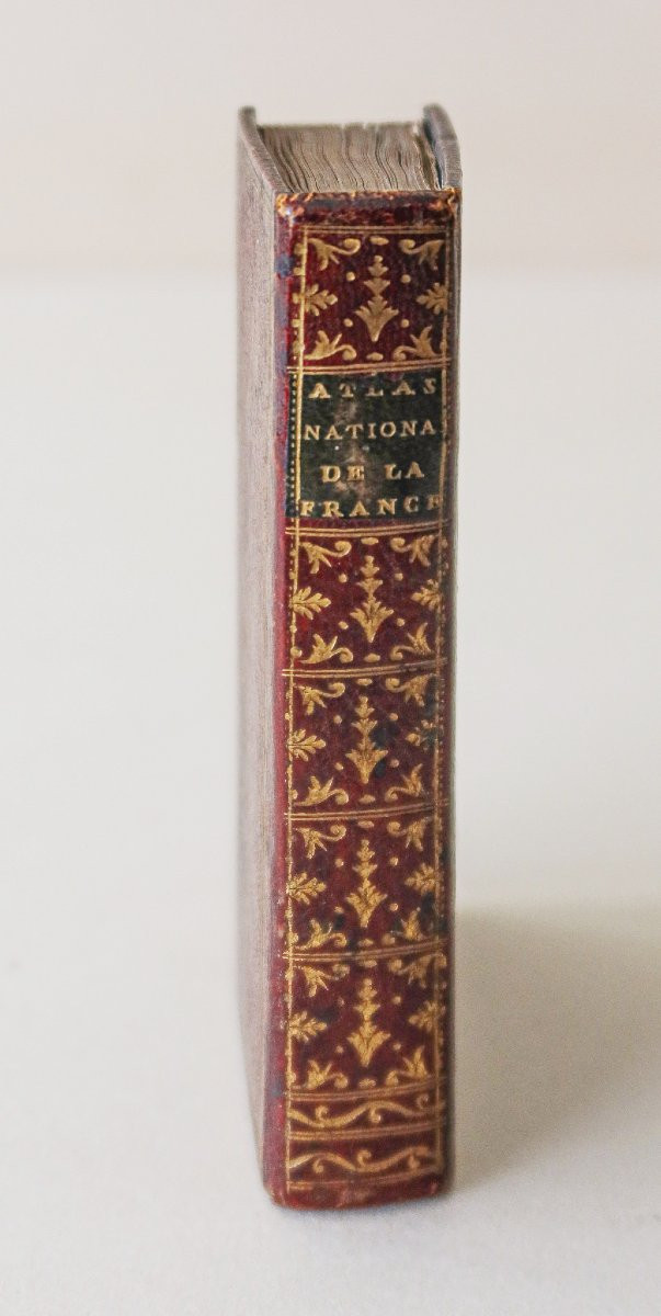
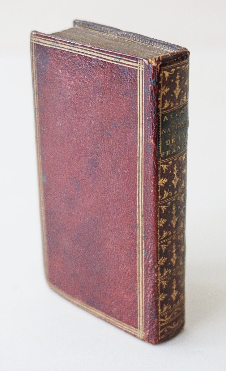
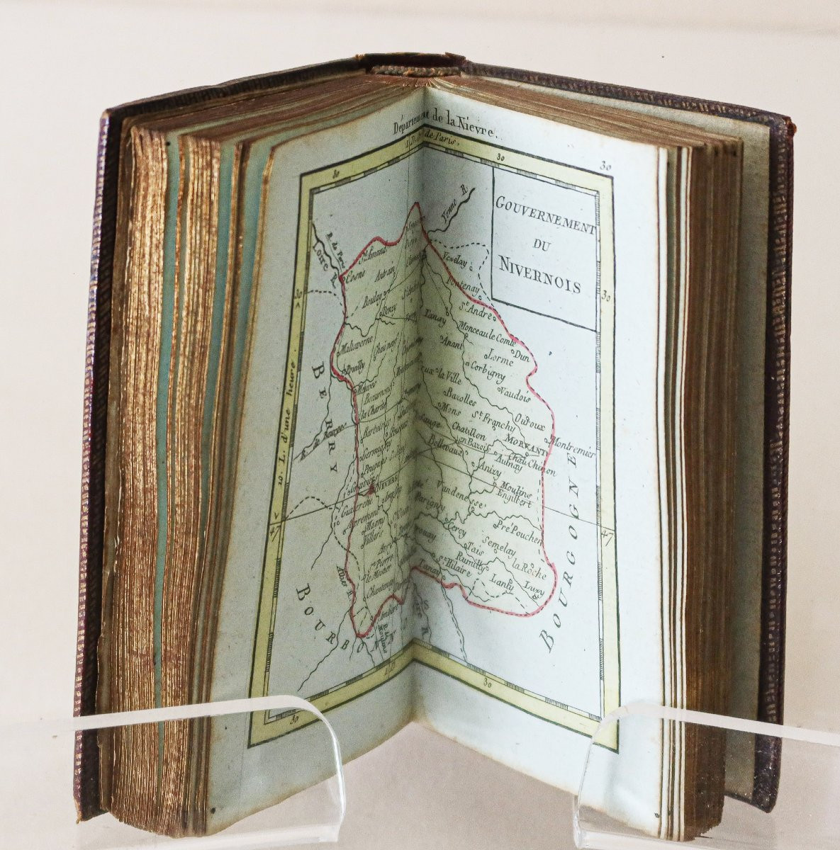
National and general atlas of France divided into its 83 Departments, forming the new division of the Kingdom, Following the Decree of the National Assembly Sanctioned by the King, March 4, 1790 Subject to the new Observations of MM of the Academy of Sciences. Paris, Desnos, undated, circa 1790. 1 volume in-24 (11.5 x 7.5 cm). Bound in full contemporary red morocco, covers with triple gilt framing fillets, decorated smooth spine, green morocco title label. (Some traces of water stains, rubbed corners). Very good condition. Miniature atlas including a dedication leaf, a title leaf, a folding map of France, 5 table pages, 48 maps, and a table plate. Copy printed on blue paper (except for the 5 table leaves, the map of the Jura and the map of Cantal), the maps enhanced in color and mounted on tabs, numbered from 1 to 47. Two additional maps at the table: A first folding map of France and a map of Corsica at the end of the book. You can consult all the maps, books and engravings available on your region by clicking on the link to our website specialized in old geographical archives: https://cartes-livres-anciens.com/categorie-produit/livres/atlas-livres/ Secure payment by credit card on our website by clicking on the link below: https://cartes-livres-anciens.com/produit/livres/atlas-livres/atlas-ancien-france/ All our maps and engravings are accompanied by a certificate of authenticity. Desnos was a major manufacturer of cartographic instruments and globes. He held the coveted position of royal globe maker for the King of Denmark, Christian VII. For this, he received an annual stipend of 500 pounds. In return, he sent the king maps, books, and atlases each year. He was a bookseller and publisher and produced a large collection of maps. He was often associated with the geographers Zannoni and Louis Brion de la Tour (1756-1823). His large output of published maps sometimes earned him, among his detractors jealous of his notoriety, a bad reputation among other cartographers, who considered him unscrupulous and without discernment about what should be publishable and what should not.
850 €
Period: 18th century
Style: Other Style
Condition: Excellent condition
Material: Paper
Reference (ID): 1577735
Availability: In stock
Print