THIS OBJECT WAS SOLD

Tassin Map 1634 Watercolored Normandy And Framed

Sold
Tassin Map 1634 Watercolored Normandy And Framed
Sold
Tassin Map 1634 Watercolored Normandy And Framed-photo-2
Sold
Tassin Map 1634 Watercolored Normandy And Framed-photo-3
Sold
Tassin Map 1634 Watercolored Normandy And Framed-photo-4
More pictures
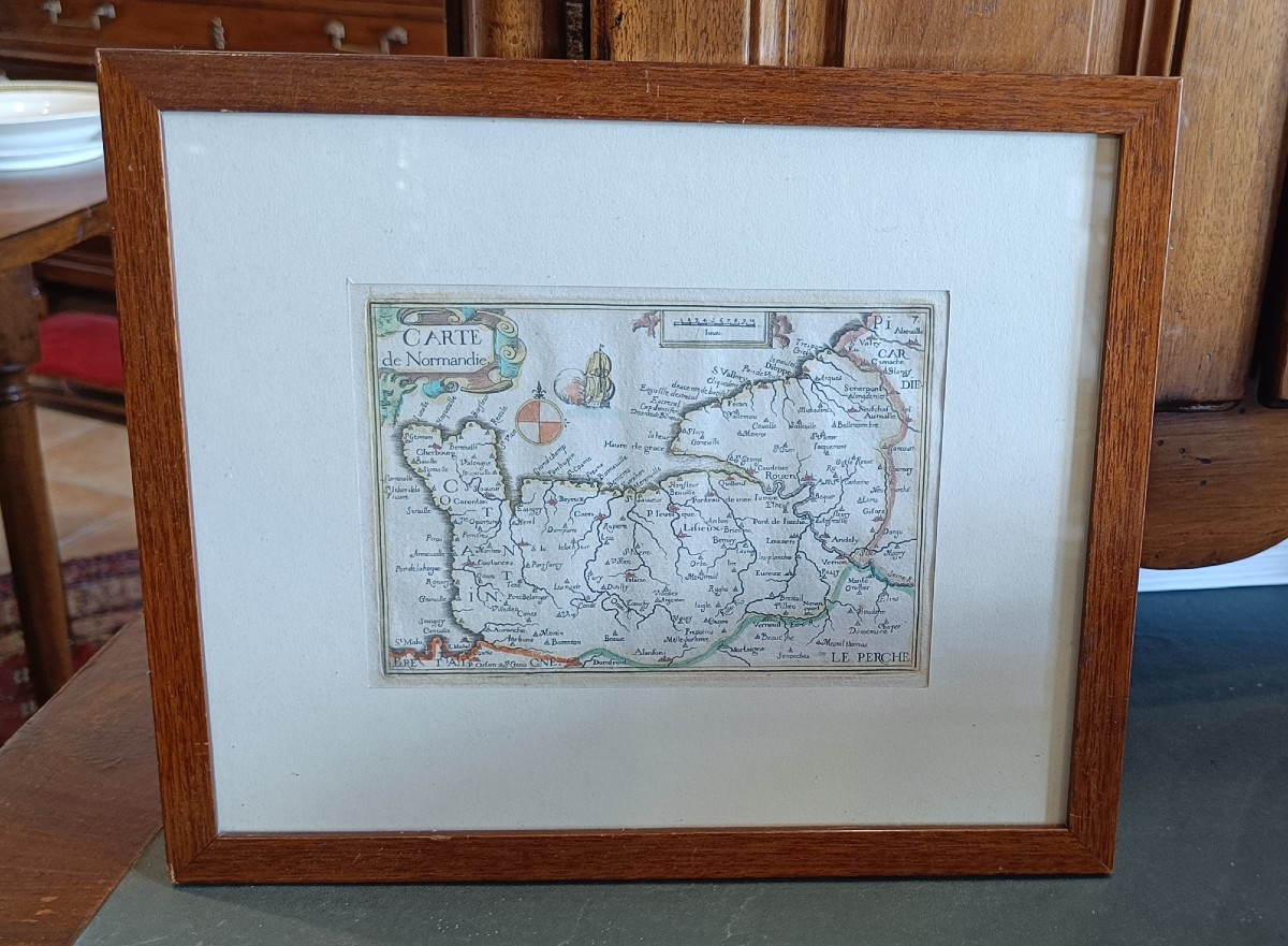
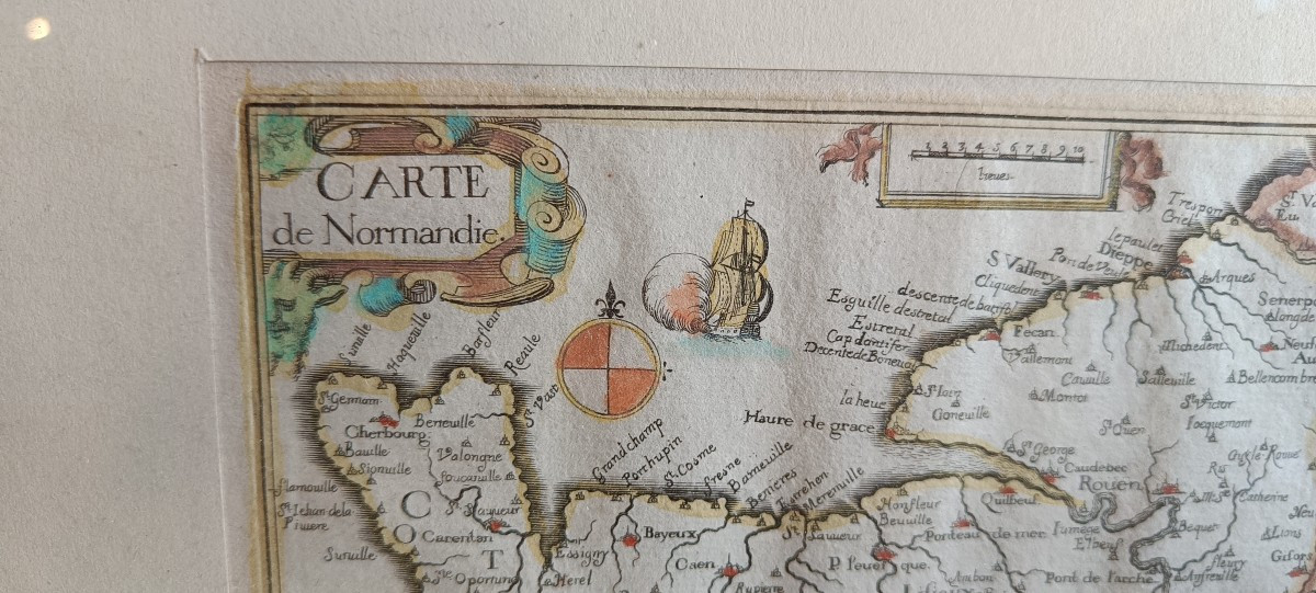
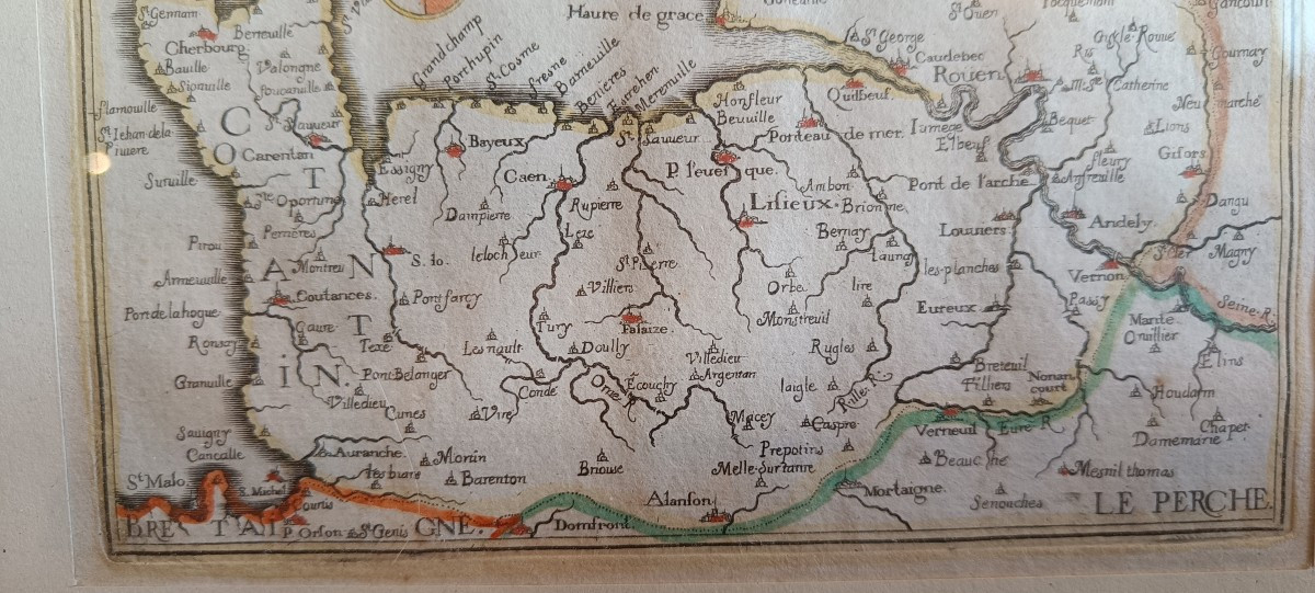
Watercolor map of Normandy by Tassin dating from 1634 with towns, a decoration of cartouches, a compass rose and a boat. Very beautiful original colors. Oak frame 28 cm x 23 cm.

Explore similar pieces and discover your ideal find:

Old Maps

Family Tree Map Prince Of Poland (18th Century)
Old Plan Of Levallois-perret -clichy
Old Geographical Map Of Languedoc
Map Of Povence - Menton – Monaco – Nice
Engraving Of Southern Saxony, 18th Century
France XIX Sec.

88A avenue Joseph Pineau
Noirmoutier en l'île 85330, France

06 13 50 19 76

Follow the dealer

CONTACT

SIGN UP TO OUR NEWSLETTER

facebook
instagram

KRON Frédéric Antiquités
France XIX Sec.
1351800-main-66631d80f3680.jpg

06 13 50 19 76


*We will send you a confirmation email from info@proantic.com .
Please check your messages, including the spam folder.