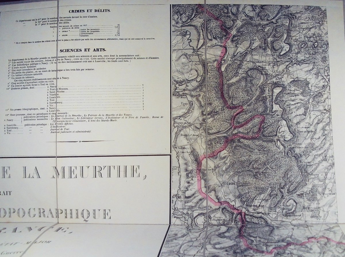


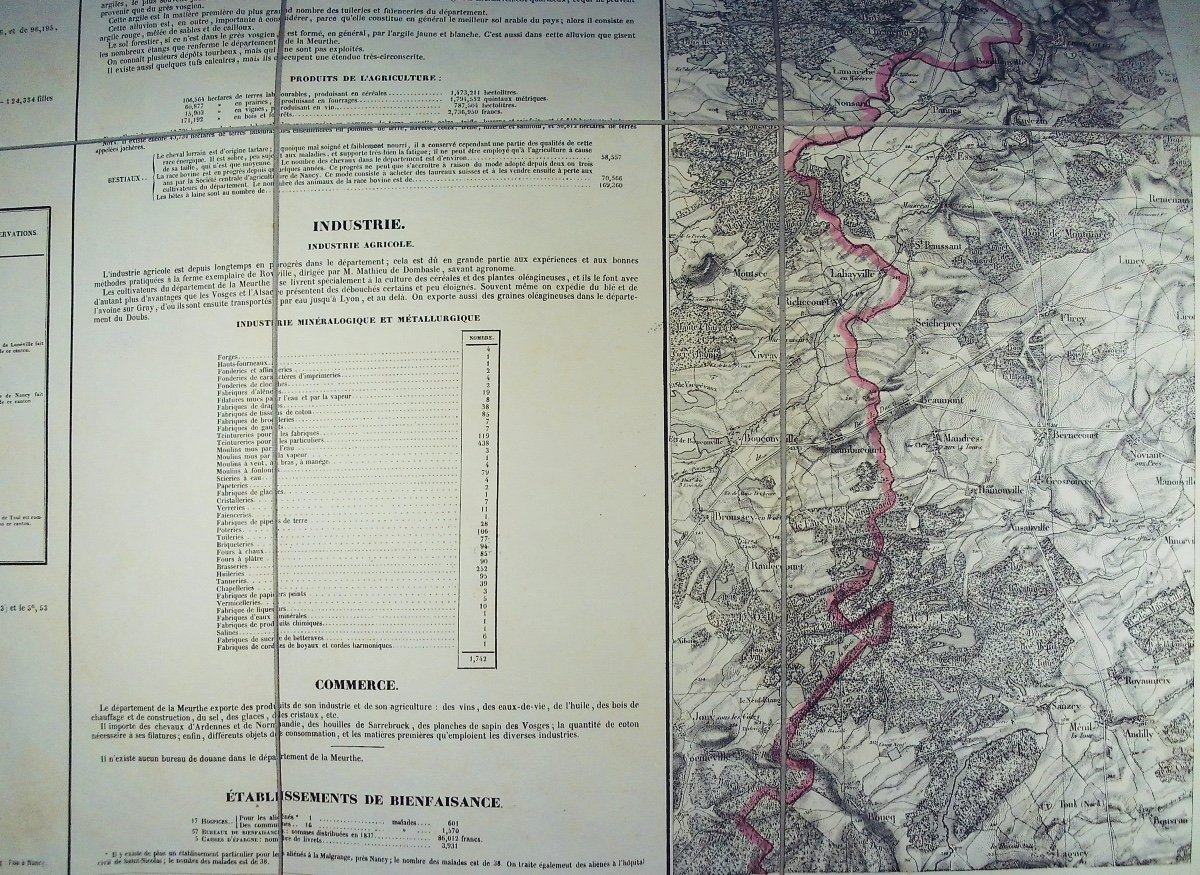


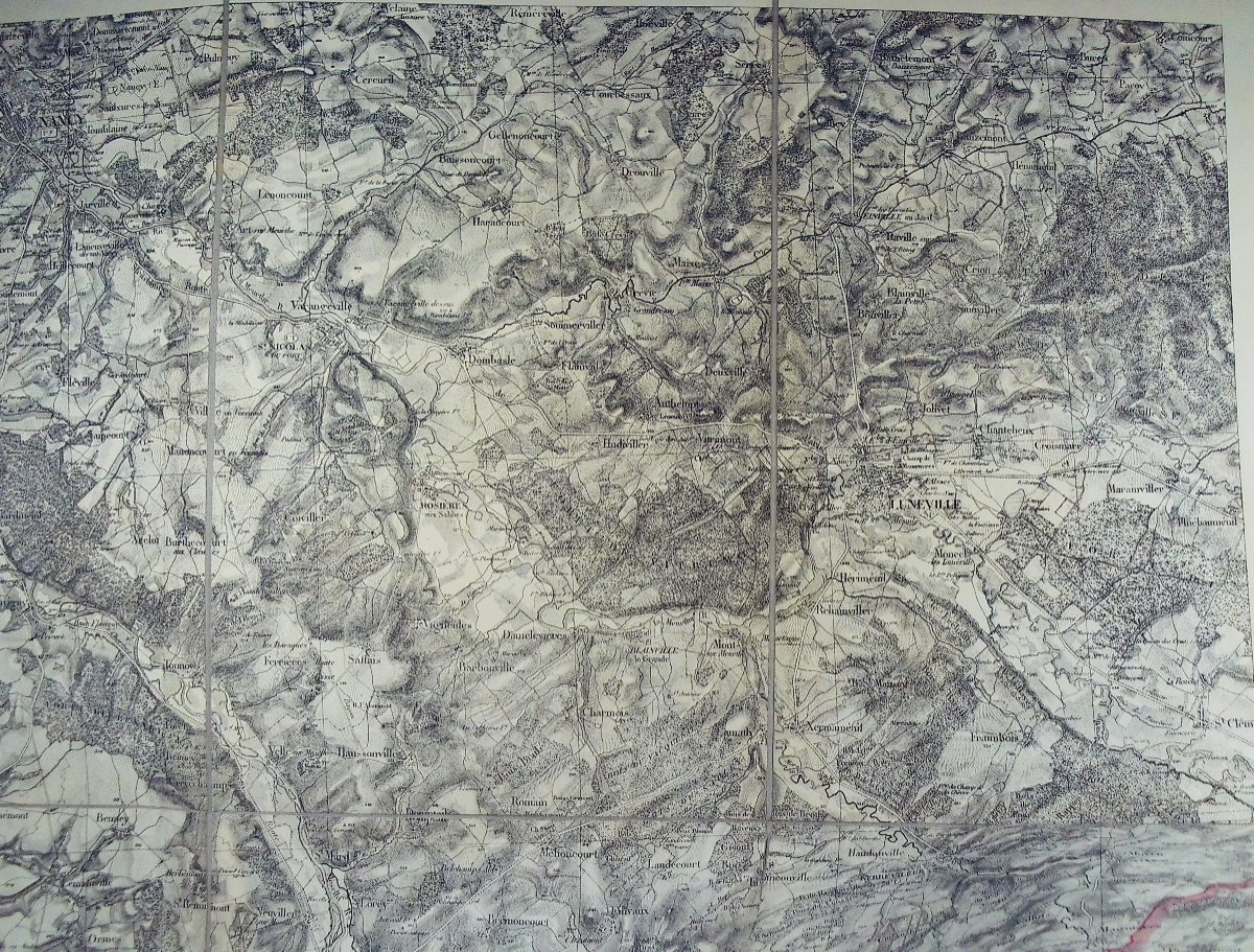


Kaepplin - Department Of Meurthe Taken From The Topographic Map Of France. 1839.
Artist: Kaepplin - Département De La Meurthe Extrait De La Carte Topographique De La France. Kaepplin Et Cie, 1839, 6 Planches Montées Sur Toile Dans Un Emboitage.
KAEPPLIN - Department of Meurthe extracted from the topographic map of France drawn up by staff officers. Department of Meurthe, made up of part of the southern portion of the province of Trois-Évéchés and the duchies of Lorraine and Bar. Paris, Kaeppelin et Cie, 1839; 565/735 mm, 6 boards, mounted on canvas and folded, in a slipcase. The 6 boards.
150 €
Period: 19th century
Style: Other Style
Condition: Excellent condition
Material: Paper
Length: in-4 d'un poids d'environ 800 grammes.
Reference (ID): 1361573
Availability: In stock
Print