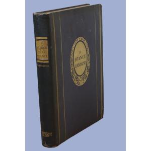
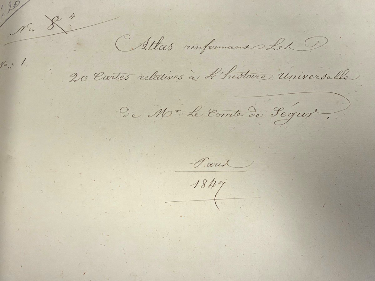


Atlas By The Count Of Ségur, Paris, 1847, Containing 20 Maps Related To World History
ATLAS BY THE COUNT DE SÉGUR, PARIS, 1847, CONTAINING 20 MAPS RELATED TO WORLD HISTORY, INCLUDING 2 MAPS, ONE OF WHICH IS IN TWO PARTS, ON:
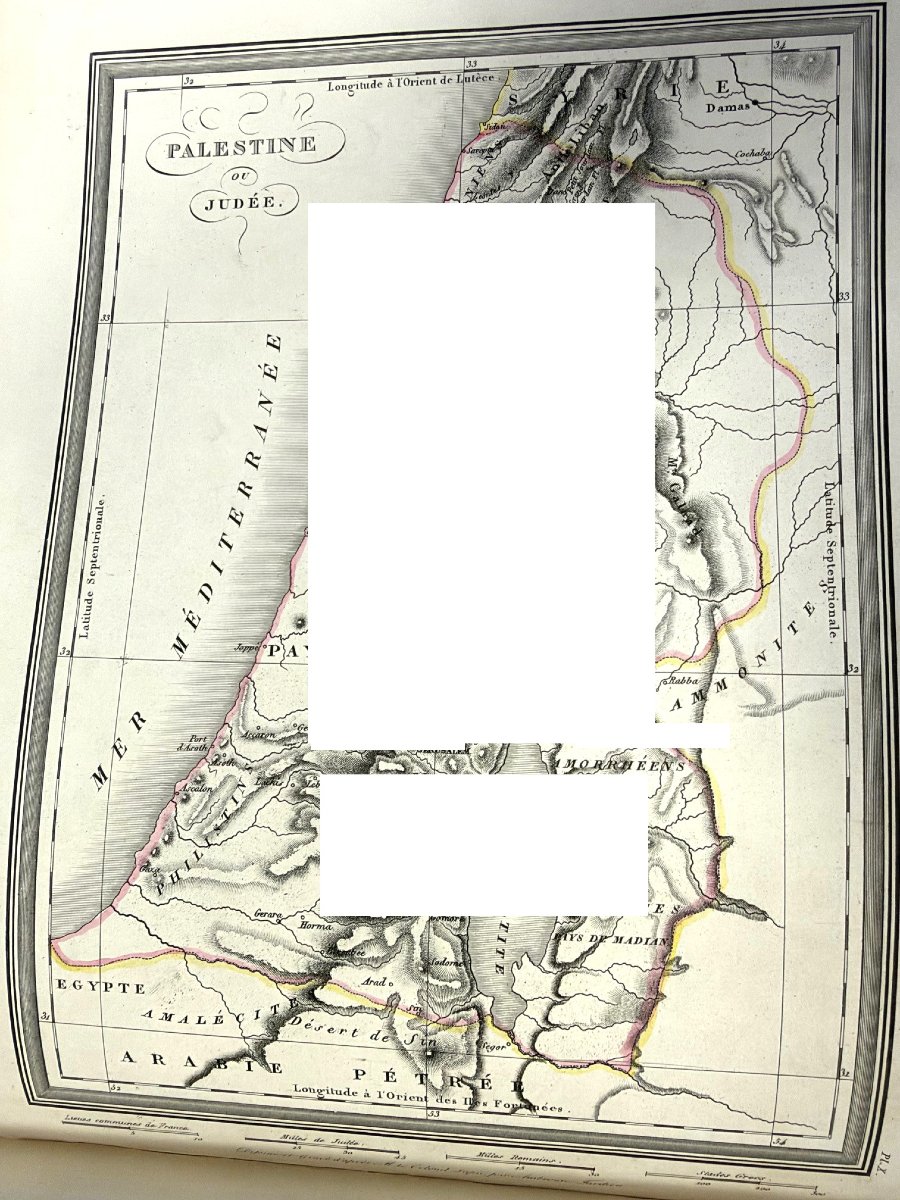
PALESTINE OF JUDEA, plate X
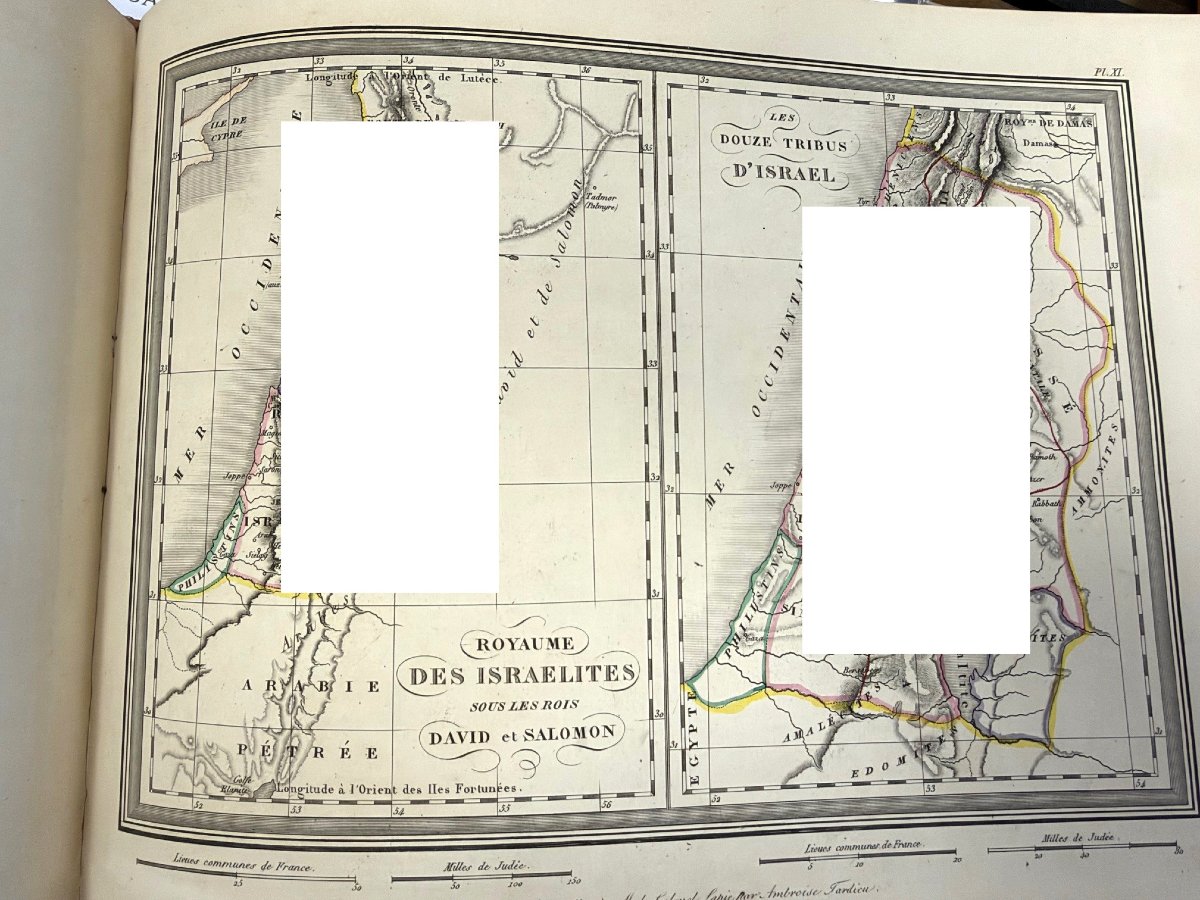
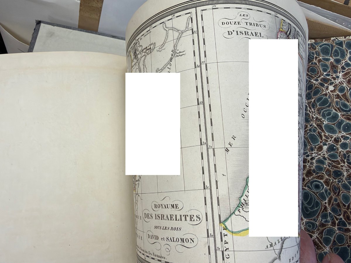
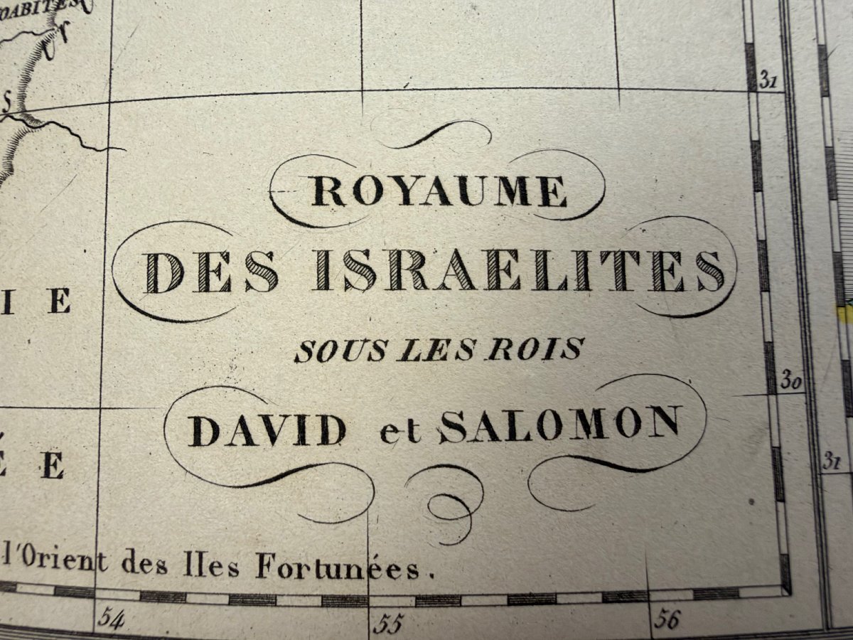
THE KINGDOM OF THE ISRAELITES UNDER KINGS DAVID AND SOLOMON, plate XI
JERUSALEM AND SYRACUSE, plate XII
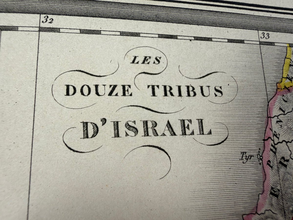
THE TWELVE TRIBES OFISRAEL, plate XI
THE WORLD KNOWN TO THE ANCIENTS, plate I
ANCIENT EGYPT, plate II
GREECE, plate III
ATHENS AND ITS SURROUNDINGS, plate IV
CARTHAGE AND ITS SURROUNDINGS, plate V
ALEXANDER’S EMPIRE Plate VI
ASIA MINOR Plate VII
ANCIENT ITALY Plate VIII
AFRICA PROPER: NUMIDIA AND MAURITANIA Plate IX
ROME, CONSTANTINOPLE Plate XIII
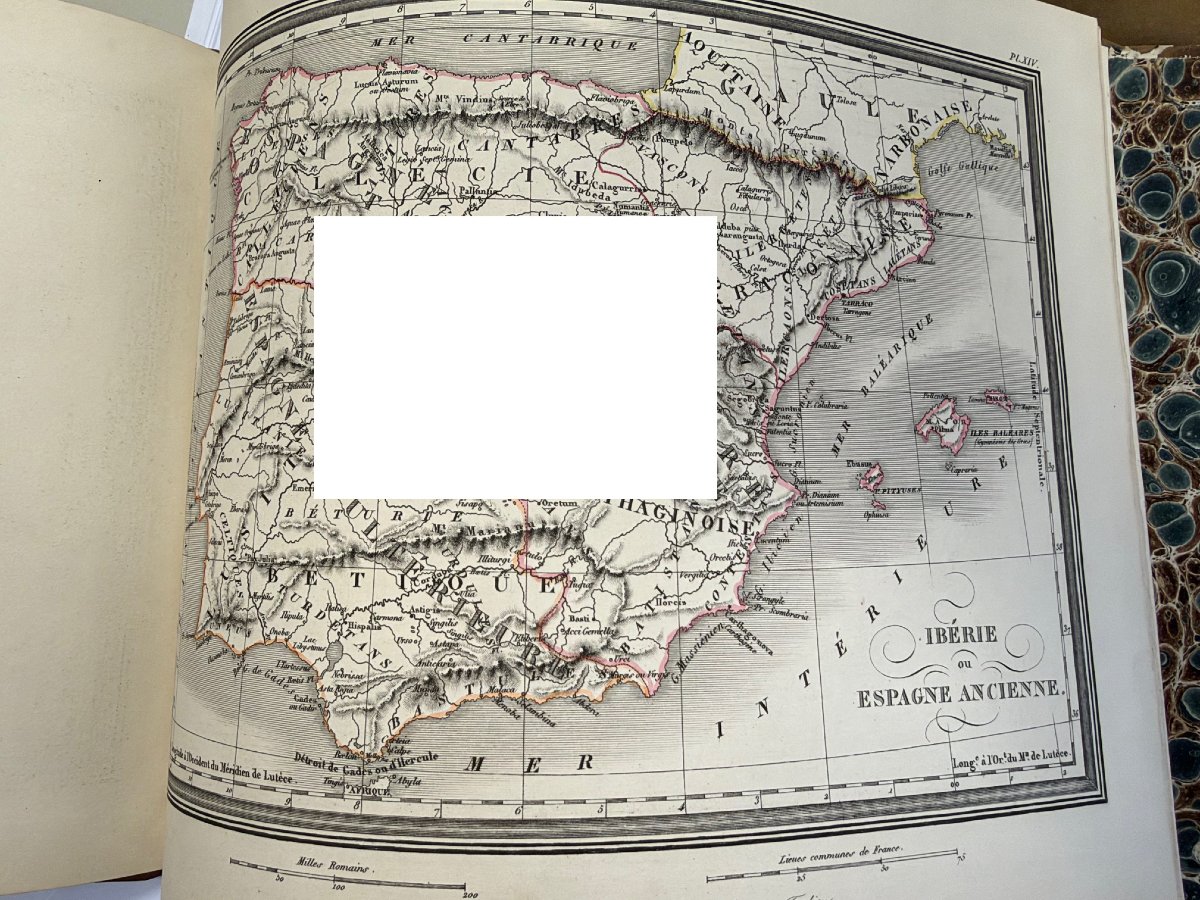
IBERIA OR ANCIENT SPAIN Plate XIV
THE GAULS Plate XV
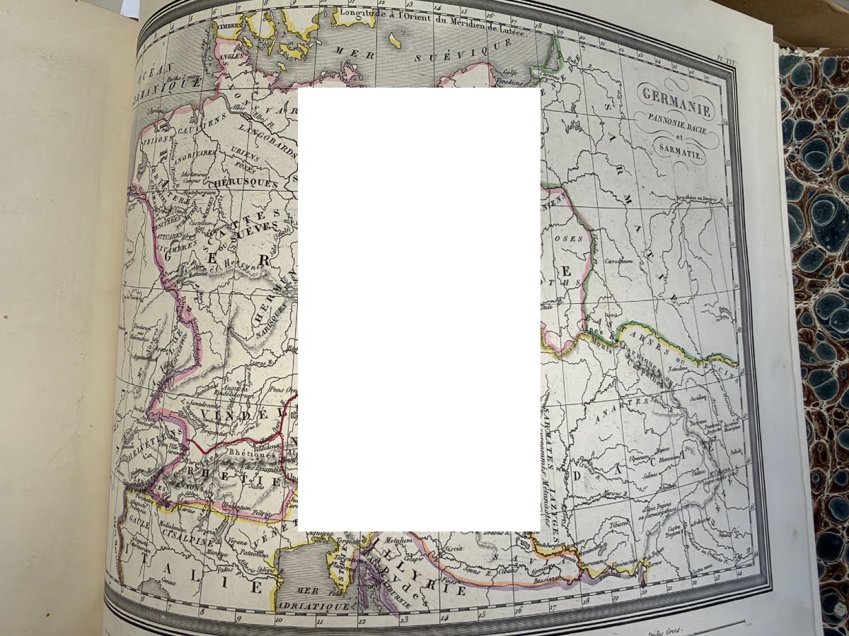
GERMANIA, PANNONIA, AND SARMATIA Plate XVI
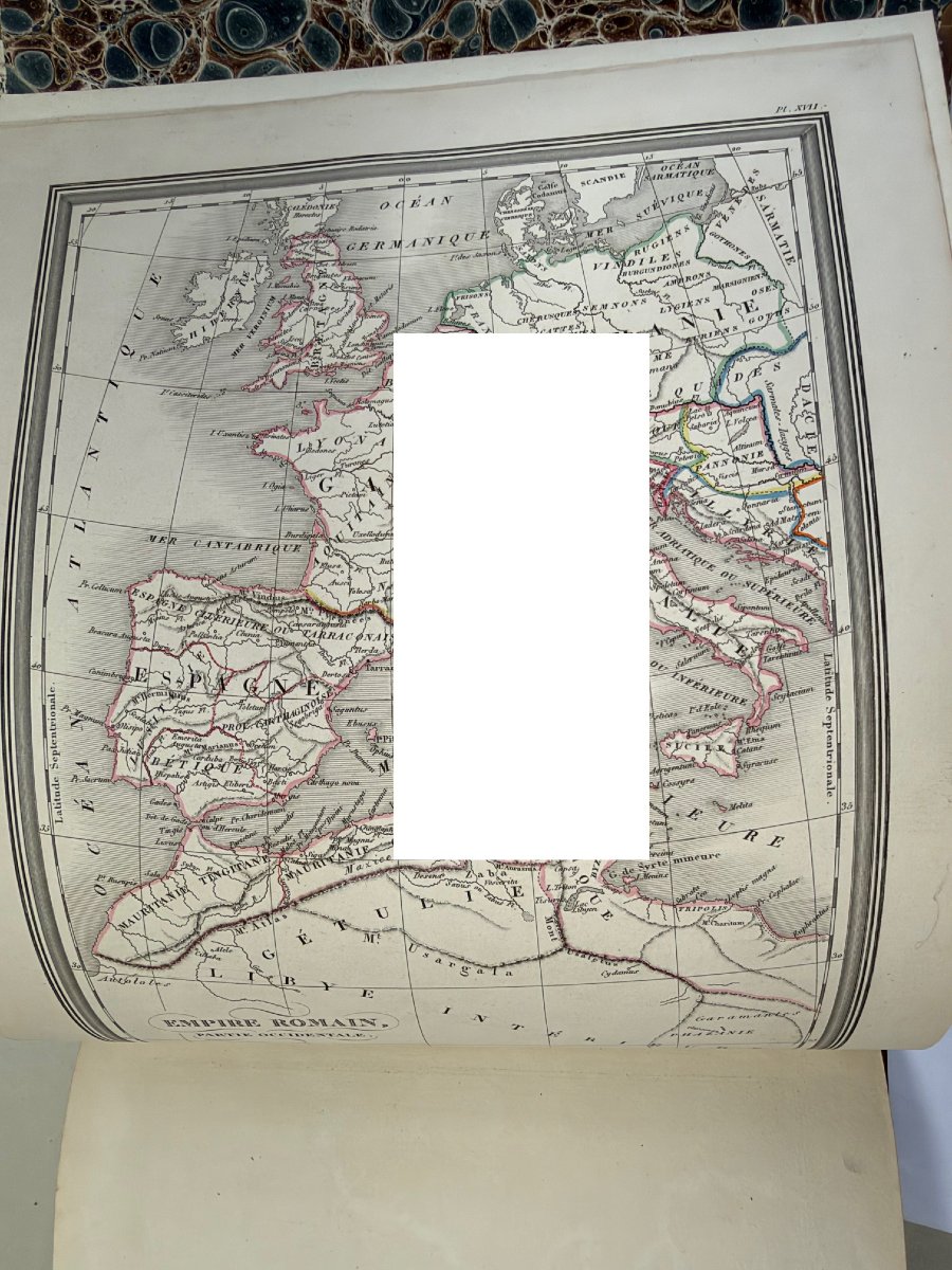
ROMAN EMPIRE (Western Part) Plate XVII
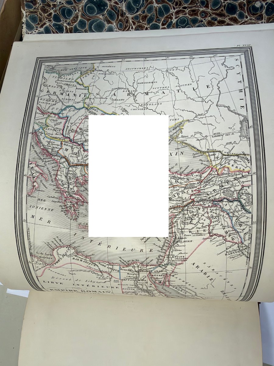
ROMAN EMPIRE—Eastern Part—Plate XVIII
GREEK OR EASTERN EMPIRE—Western Part in 600—Plate XIX
GREEK OR EASTERN EMPIRE—Eastern Part—Plate XX
Italian-style format, very, very clean, in color, drawn and engraved based on Colonel LAPIE’s work by Ambroise Fardien
THE BLANK SPACES ARE SIMPLY TO PREVENT SCREENSHOTS.
PALESTINE OF JUDEA, plate X
THE KINGDOM OF THE ISRAELITES UNDER KINGS DAVID AND SOLOMON, plate XI
JERUSALEM AND SYRACUSE, plate XII
THE TWELVE TRIBES OFISRAEL, plate XI
THE WORLD KNOWN TO THE ANCIENTS, plate I
ANCIENT EGYPT, plate II
GREECE, plate III
ATHENS AND ITS SURROUNDINGS, plate IV
CARTHAGE AND ITS SURROUNDINGS, plate V
ALEXANDER’S EMPIRE Plate VI
ASIA MINOR Plate VII
ANCIENT ITALY Plate VIII
AFRICA PROPER: NUMIDIA AND MAURITANIA Plate IX
ROME, CONSTANTINOPLE Plate XIII
IBERIA OR ANCIENT SPAIN Plate XIV
THE GAULS Plate XV
GERMANIA, PANNONIA, AND SARMATIA Plate XVI
ROMAN EMPIRE (Western Part) Plate XVII
ROMAN EMPIRE—Eastern Part—Plate XVIII
GREEK OR EASTERN EMPIRE—Western Part in 600—Plate XIX
GREEK OR EASTERN EMPIRE—Eastern Part—Plate XX
Italian-style format, very, very clean, in color, drawn and engraved based on Colonel LAPIE’s work by Ambroise Fardien
THE BLANK SPACES ARE SIMPLY TO PREVENT SCREENSHOTS.
480 €
Period: 19th century
Style: Other Style
Condition: Excellent condition
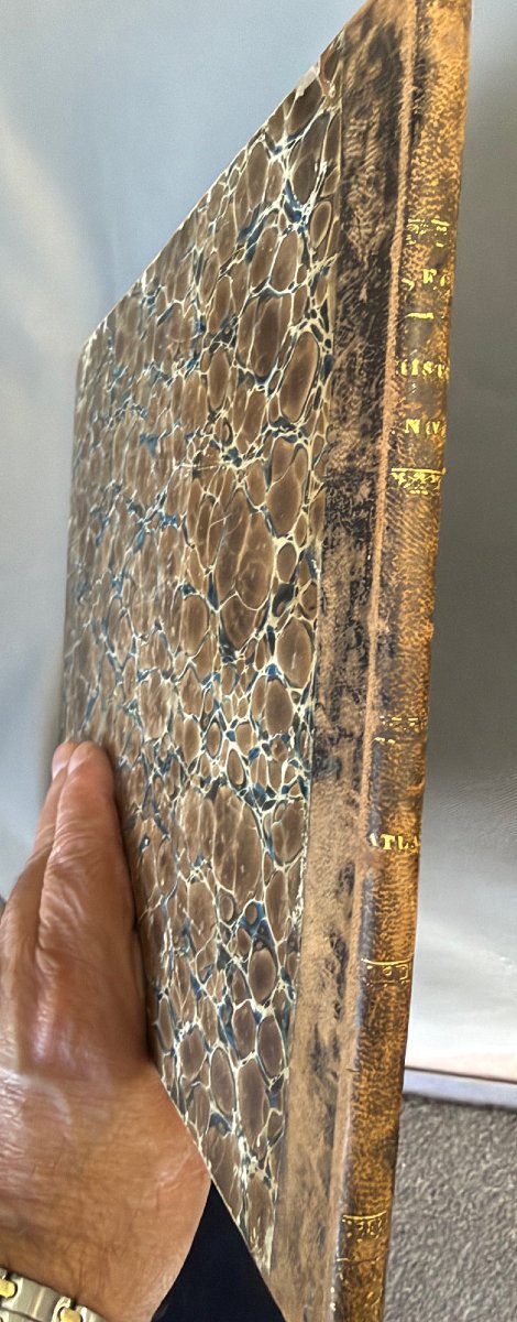
Material: Paper
Length: 27,5 cm
Width: 21,5 cm
Reference (ID): 1826439
Availability: In stock
Print