this object was sold
line

World Map, Late 19th Century

Sold
World Map, Late 19th Century
Sold
World Map, Late 19th Century-photo-2
Sold
World Map, Late 19th Century-photo-3
Sold
World Map, Late 19th Century-photo-4
pictures.

Object description :

"World Map, Late 19th Century"
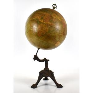
Table globe, late 19th century
National Institute of Geography
Globe terrestre de 1 metre de circonference, Bruxelles
height 61 cm

View more from this dealer

View more - 
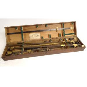
scientific instruments

Subscribe to newsletter
line
facebook
pinterest
instagram

Antichità Martini
Old master paintings, 19th century paintings, antiques, sculptures

World Map, Late 19th Century
1510075-main-67d7e966ae906.jpg

+39 328 0971422 - +39 346 6907262


*We will send you a confirmation email from info@proantic.com Please check your messages, including the spam folder.

Thank you! Your submission has been received!

Oops! Something went wrong while submitting the form