

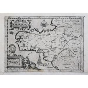
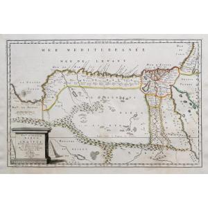
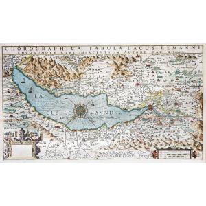
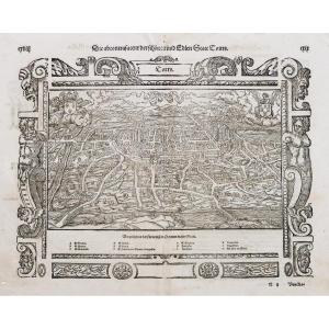
"Old Geographical Map Of Brittany"
https://cartes-livres-anciens.com/categorie-produit/cartes-geographiques-anciennes-original-antique-maps/france/bretagne/Original proof made around 1712. Montecalvario cartographer. Lower margin reported formerly. Good condition. Sheet size: 35 x 25 cm. Engraving format: 31.5 x 22.5 cm. Original antique map around 1712. Beautiful proof published by this Italian cartographer from the beginning of the 18th century, particularly decorative. Cities are represented in the form of ancient citadels. A card that many collectors miss. You can consult all the maps, books and engravings available in your region by clicking on the link of our website specializing in ancient geographical archives: https://cartes-livres-anciens.com/categorie-produit/cartes-geographiques -anciens-original-antique-maps/france/bretagne/ Secure payment by credit card on our website by clicking on the link below: https://cartes-livres-anciens.com/produit/cartes-geographiques-anciennes -original-antique-maps/france/bretagne/carte-geographique-ancienne-la-bretagne-2/ All our maps and engravings are accompanied by a certificate of authenticity.


 Le Magazine
 Rivista Artiquariato
 TRÉSORS magazine