


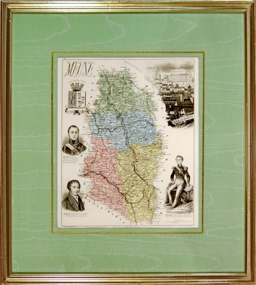
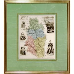


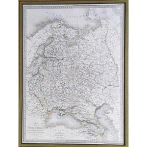
"Engraving Representing The Departmental Map Of"
LA MEUSE (55) Departmental map Map from the book "New Illustrated Atlas, France and its Colonies by Migeon, Publisher. Dimension(s): Frame: Length 38 cm – Height 24 cm Width. Strip: 1.5 cm Condition: INTACT Period: Engraving(s): END of the 19th century Frame(s): CURRENT - Marie-Louise green moire and old gold fillet - Wooden stick, water gilding PAYMENT and TRANSPORT Transport is done in SECURE PARCELS PAYMENTS ACCEPTED via PAYPAL / LYDIA / CB in VAD (distance selling) or by CHECK PARCELS WILL BE POSTED WITHIN 3 DAYS GROUPED SHIPPING POSSIBLE IN CASE OF PURCHASE OF SEVERAL ITEMS. 


 Le Magazine
 Rivista Artiquariato
 TRÉSORS magazine