Map Of Languedoc, 17th Time. flag


Object description :

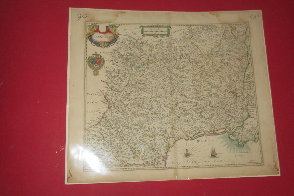
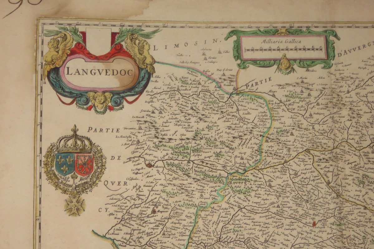
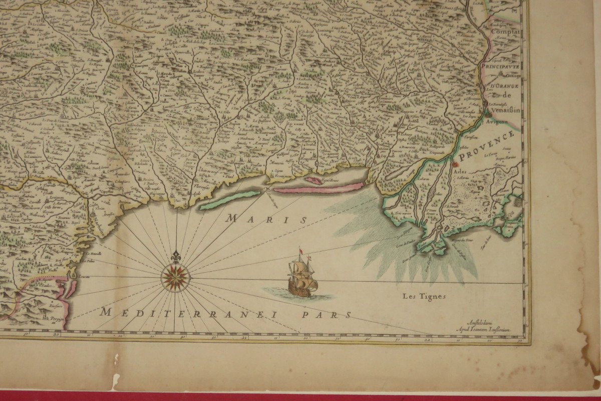
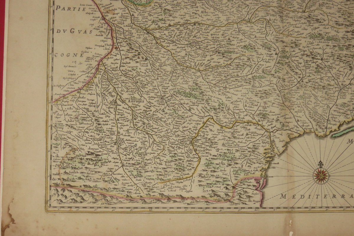
"Map Of Languedoc, 17th Time."
Very nice geographical map representing Languedoc. 17th century. - Dimensions: 62 x 53 cms. Note: there is a protective plastic on the card.
Price: 220 €
Period: 17th century
Style: Other Style
Condition: Excellent condition

Material: Paper
Length: 62 cms
Height: 53 cms

Reference: 844110
Contact Dealer
line

"Cave et fils" See more objects from this dealer

line

"Old Maps, Other Style"

More objects on Proantic.com
Subscribe to newsletter
line
facebook
pinterest
instagram
Cave et fils
Ancient frames, Guilted wood, Mirors and Paintings
Map Of Languedoc, 17th Time.
844110-main-6172cb8990d98.jpg
06.31.58.80.71


*We will send you a confirmation email from info@proantic.com Please check your messages, including the spam folder.

Thank you! Your submission has been received!

Oops! Something went wrong while submitting the form