Early 17th De Jubrien Map: Pais De Retelois (surroundings Of Rethel) flag


765802-main-60868f348aa71.jpg 765802-60868f59b094b.jpg

Object description :

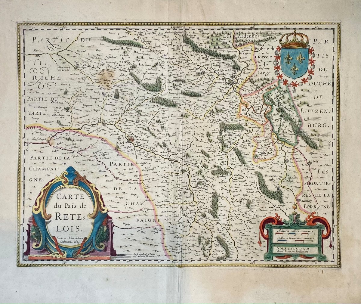
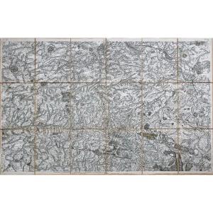
"Early 17th De Jubrien Map: Pais De Retelois (surroundings Of Rethel)"
Publisher: J. Janssonium (1588-1664)
1624
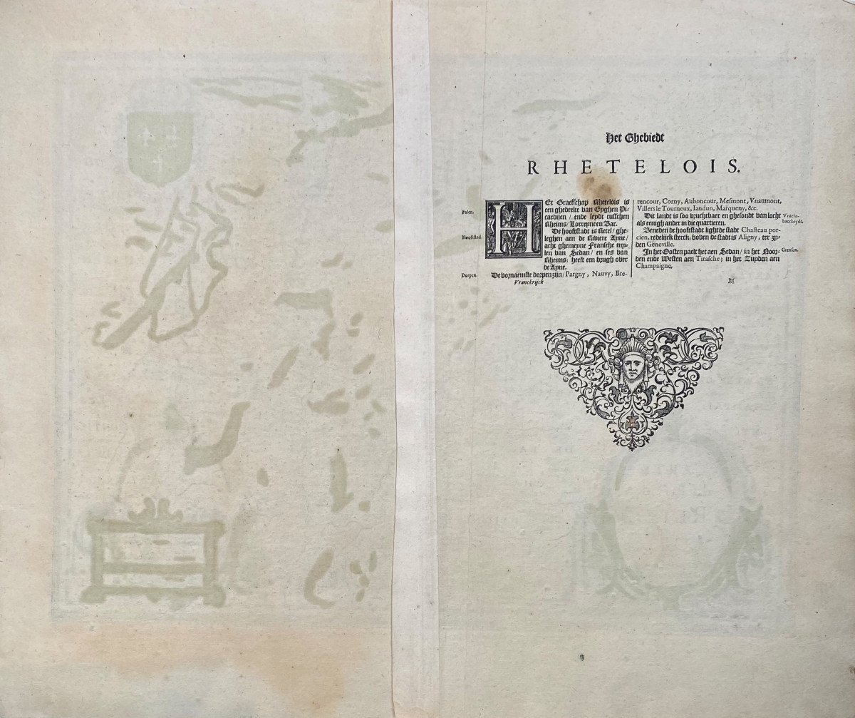
Map with all margins with the text on the back, in colors.
Copper width: 505
Copper height: 385
Sheet width: 570
Sheet height: 490
Price: 120 €
Artist: Jubrien Jean (1569-1641)
Period: 17th century
Style: Other Style
Condition: Pli médian usuel, tache brune essentiellement visible au verso, léger jaunissement dans la bordure droite

Width: 570 mm
Height: 490 mm

Reference: 765802
Contact Dealer
line

"galerie Maillard-Fouilleul" See more objects from this dealer

line

"Old Maps, Other Style"

More objects on Proantic.com
Subscribe to newsletter
line
facebook
pinterest
instagram
galerie Maillard-Fouilleul
Old and modern Prints, Drawings
Early 17th De Jubrien Map: Pais De Retelois (surroundings Of Rethel)
765802-main-60868f348aa71.jpg
0142465320


*We will send you a confirmation email from info@proantic.com Please check your messages, including the spam folder.

Thank you! Your submission has been received!

Oops! Something went wrong while submitting the form