

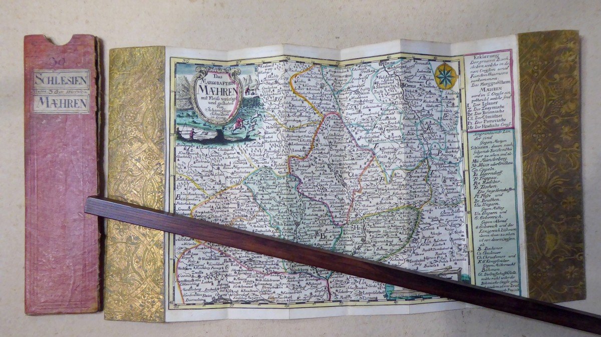
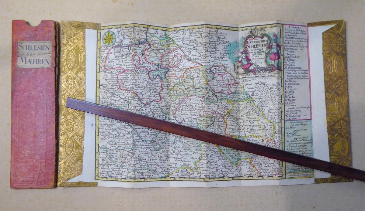
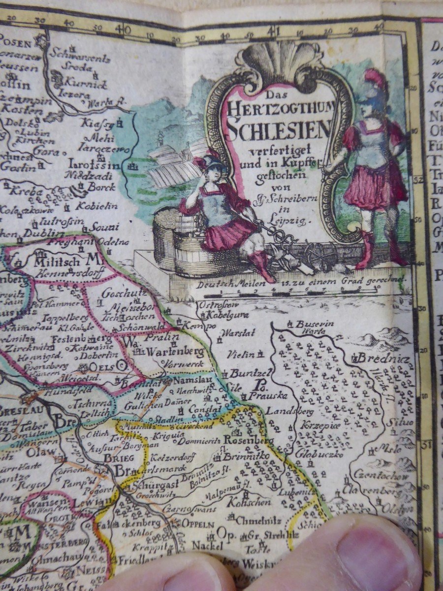
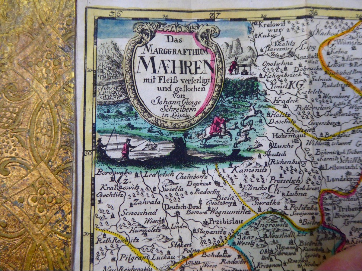


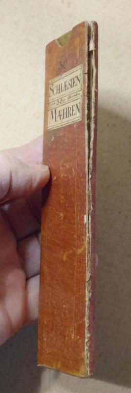
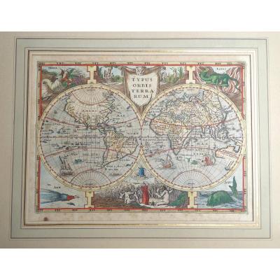
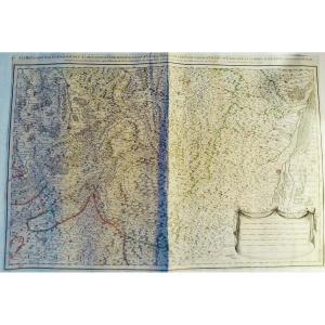
"18th Century Color Travel Map, Austerlitz Region, Silesia, Moravia"
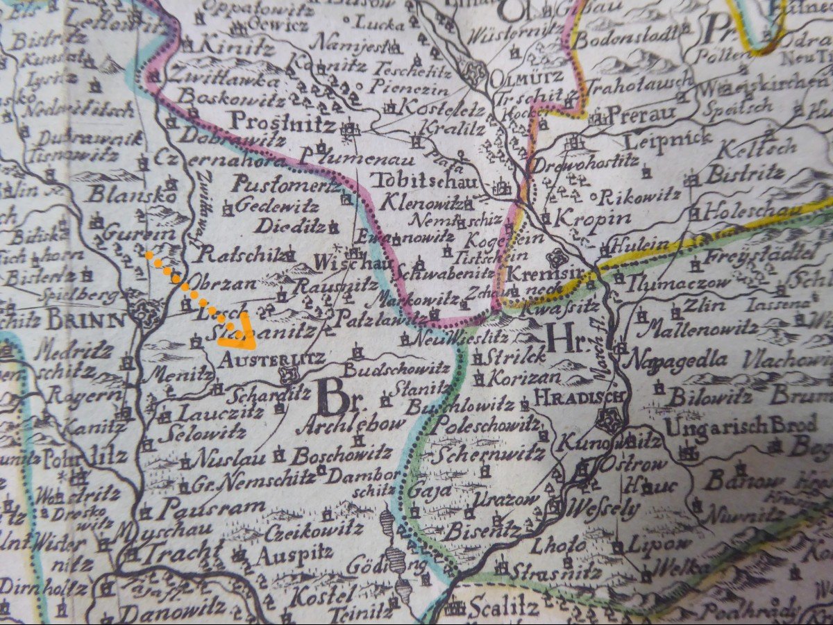
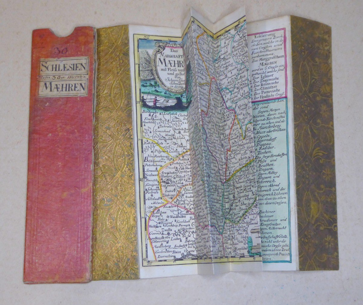
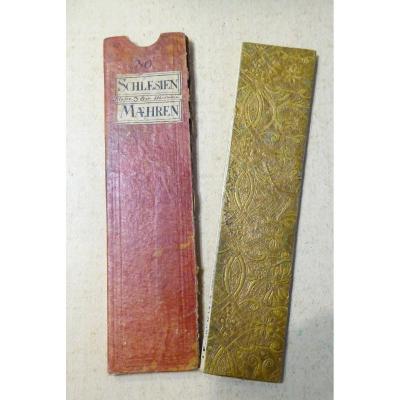
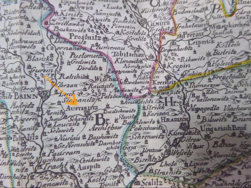
Old small travel map engraved on copper and watercolored, signed by Johann George Schreiber (1676-1750). - It folds up into a portfolio with embossed gold paper edges, and fits into its red paper case. Dimensions of the sheet: approximately 32cm x 17.5cm - it is in good condition, colors and gilding fresh. .... the case is a little split .... This card is double, on one side: The County of Silesia, on the other the Marquisate of Moravia, both pretty .... this card is a offprint treated with luxury, and double-sided, from a large book, circa 1750, a considerable geographical sum, bringing together most of the regions of central Europe, between Poland, Bohemia and Moravia. Take a good look at the photos ....Insured and tracked shipping from France,
paypal payments are welcome, credit cards accepted by with Paypal.
we ship internationally, registered and insured, to Europe and numerous other countries.


 Le Magazine
 Rivista Artiquariato
 TRÉSORS magazine