
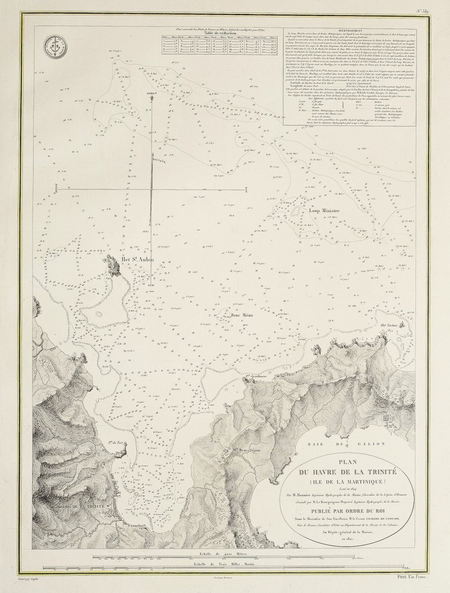
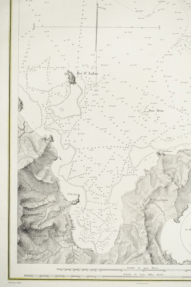
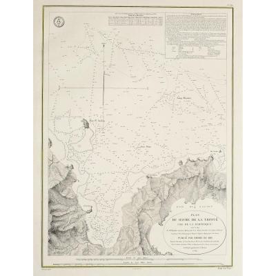
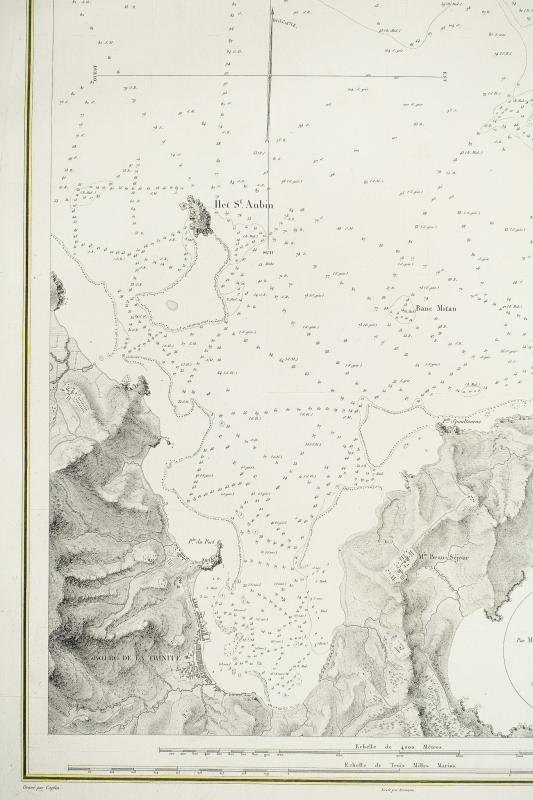
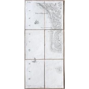
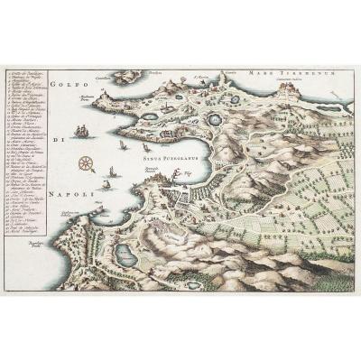
"Old Nautical Chart Of Martinique - Le Havre De La Trinité - Bourguignon Duperré"
Original proof engraved in 1827.Very good condition.
Sheet format: 66.5 x 50 cm.
Original antique chart of 1827.
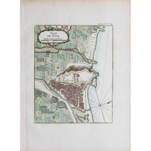
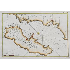
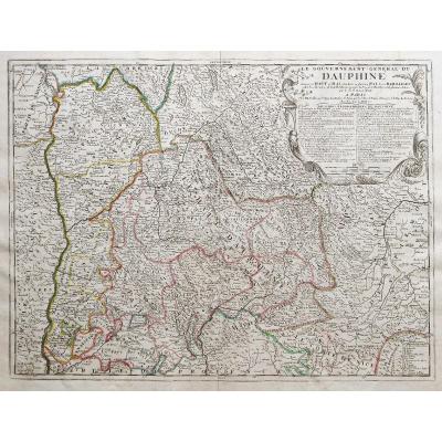
Two years were necessary to carry out all the hydrographic surveys of the island of Martinique between 1824 and 1825. Mr. Monnier and Mr. Bourguignon Duperré Hydrographers engineers carried out this colossal mission which will give birth to the atlas of Martinique in 1827.
You can consult all the maps and engravings available in your region by clicking on the link of our website specializing in ancient geographic archives: https://www.cartes-livres-anciens.com
Possibilities of secure payment by credit card on our website:https://cartes-livres-anciens.com/produit/cartes/ameriques/caraibes/carte-marine-ancienne-de-martinique-le-havre-de-la-trinite-bourguignon-duperre/


 Le Magazine
 Rivista Artiquariato
 TRÉSORS magazine