
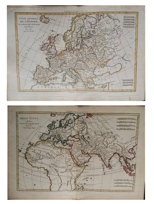


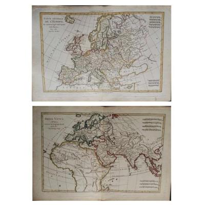
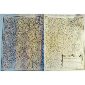
"Pair Of Maps Of Europe From XVIIIth Century Cartographer R. Bonne"
Paire de cartes de l'EuropeXVIIIème siècle
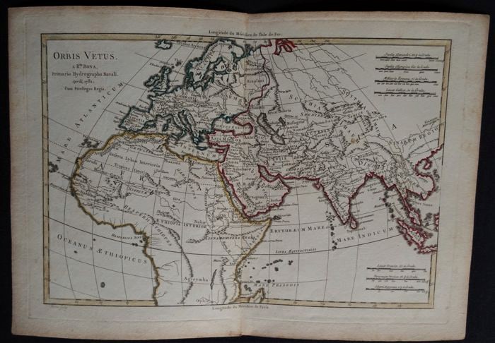
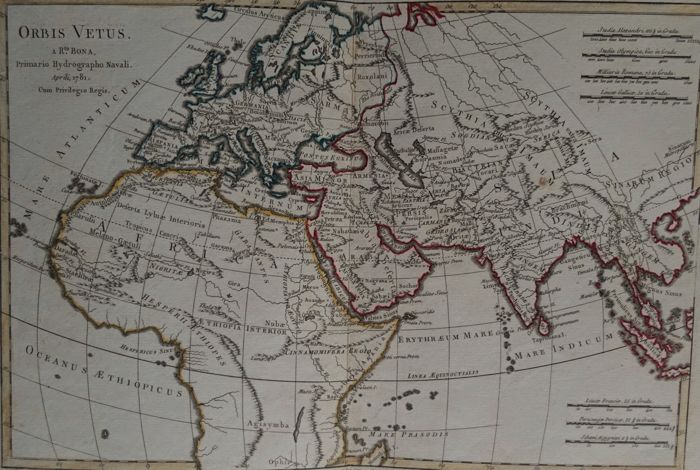
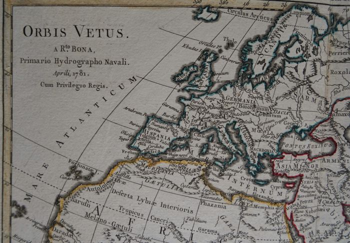
Cartographe R. Bonne "Orbis Vetus",
Le monde dans l'antiquité Avril 1781
Gravure sur cuivre Image 32 x 21 cm
Page complète: 37.5 x 26.5 cm
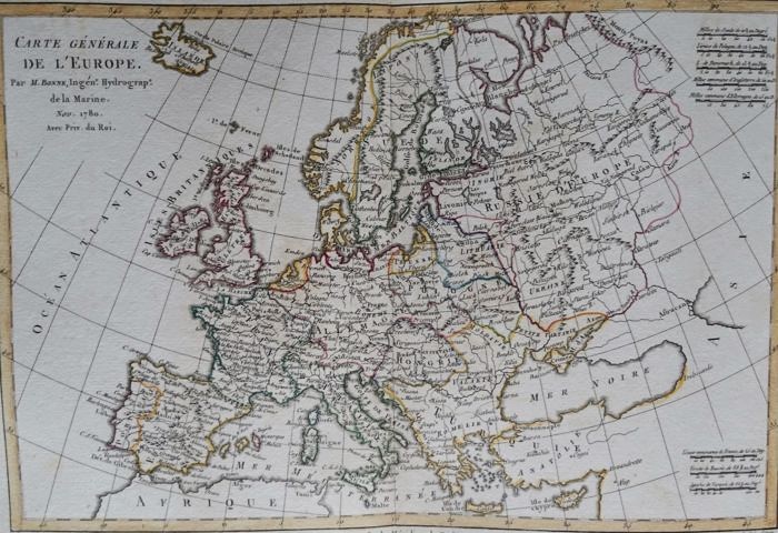
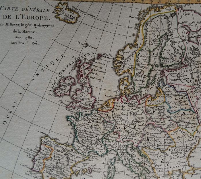
Cartographe R. Bonne
"Carte générale de L'Europe"
par R. Bonne cartographe
Année 1780
Gravure sur cuivre
Image 32 x 21 cm
Page complète: 37.5 x 26.5 cm
Toutes livraisons, envoi soigné avec assurance


 Le Magazine
 Rivista Artiquariato
 TRÉSORS magazine