Manuscript Map Of The Riviera / Côte d'Azur 1740-1750 flag


1019698-main-6357d9f1dd875.jpg 1019698-6357da01710e0.jpg 1019698-6357da0187b69.jpg

Object description :

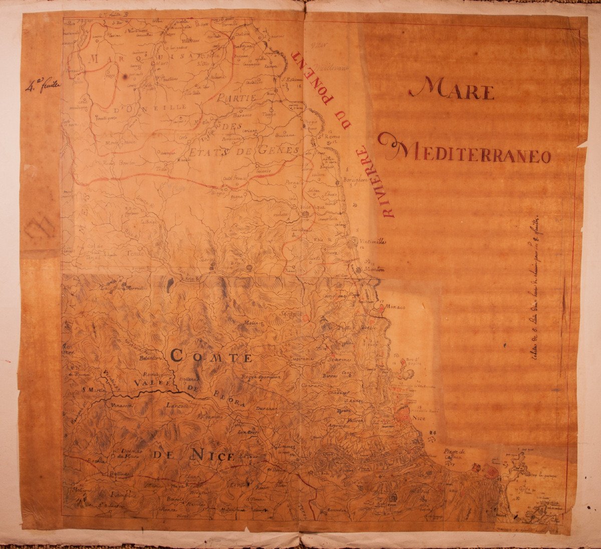
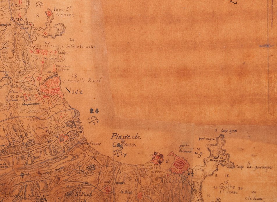
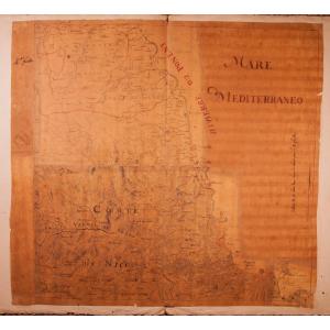
"Manuscript Map Of The Riviera / Côte d'Azur 1740-1750"
Rare map of the Riviera / Côte d'Azur around 1740-1750, including among others: Juan les Pins, Antibes, Cagnes, Nice, St-Jean-Cap-Ferrat, Monaco, Menton, Ventimiglia, Bordighera, San Remo.
Pen, black and red ink, wash and watercolor on tracing paper mounted on strong laid paper.
Accidents and lacks due to the fragility of the support.
Unique and rare piece of the history of the county of Nice.
Material: Layer
Width: 68 cm Height: 63 cm
Width of the laid paper support: 99 cm
Price: 1 800 €
Period: 18th century
Style: Louis 15th - Transition
Condition: In its current state

Material: Paper
Width: 68 cm
Height: 63 cm

Reference: 1019698
Contact Dealer
line

"La Sculpture Françoise" See more objects from this dealer

line

"Old Maps, Louis 15th - Transition"

More objects on Proantic.com
Subscribe to newsletter
line
facebook
pinterest
instagram
La Sculpture Françoise
Ancient sculpture & works of Art
Manuscript Map Of The Riviera / Côte d'Azur 1740-1750
1019698-main-6357d9f1dd875.jpg


*We will send you a confirmation email from info@proantic.com Please check your messages, including the spam folder.

Thank you! Your submission has been received!

Oops! Something went wrong while submitting the form