
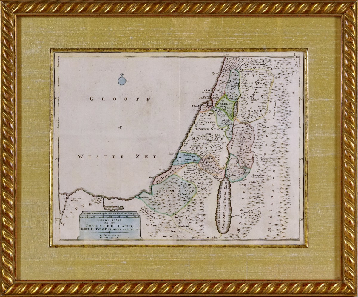
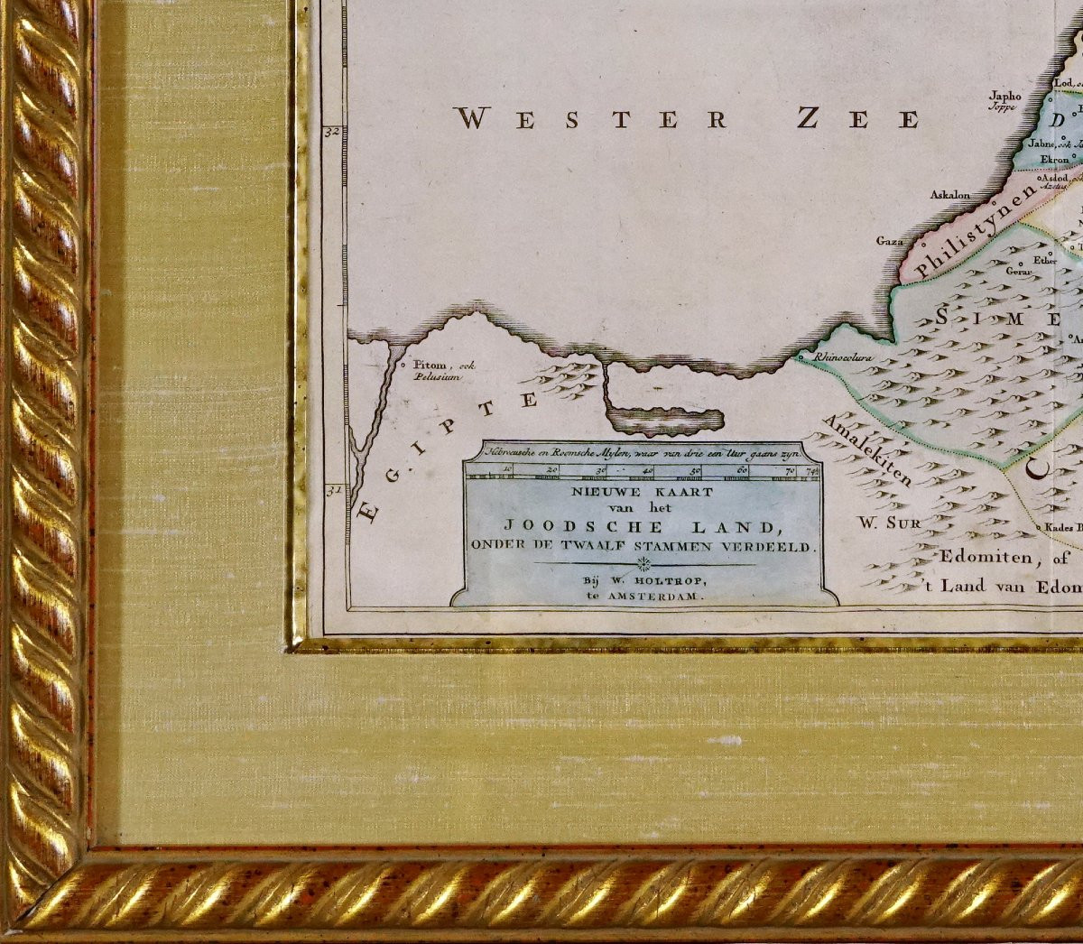


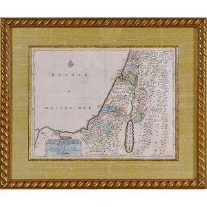


"Antique Engraving The Twelve Tribes Of Israel - 18th Century "
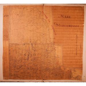
Original engraving, engraved with a burin on steel, printed on watermarked laid paper and published by W. Wolhtrop in Amsterdam. Beautiful map illustrating the biblical distribution of the eleven territories (the twelfth, Levi, being not shown), as described in the Book of Joshua, before the Dan clan moved north. It covers the Mediterranean coast from Lebanon (Sidon) to Gaza, with the Yarden (Jordan) as the dividing line between the territories, including the portions east and west of the river according to biblical and traditional sources. The different tribes are identified by colored outlines, such as: Zebulun, Manasseh, Ephraim, Simeon, etc. The seabed is called "GROOTE of WESTER ZEE", isolated text on the left side. The topographical layout is stylized: schematized hills, curved rivers, minimal relief. The lines are clean and linear, typical of the geographical aesthetic of the 18th century. At the bottom left is a cartographic cartouche with the title, the scale in leagues. Polychrome highlights, hand-watercolored at the time. Dimensions: Frame: Length 56.3 cm – Height 46.8 cm - Width Baguette: 3 cm, Condition: PERFECT CONDITION, Period: Engraving: 18th century, Frame: Current mounting, composed of an aged gilded bevel, a marie-louise in dark ecru wild silk. The whole is encircled by a wooden baguette with water-based gilding in aged gold. 


 Le Magazine de PROANTIC
 TRÉSORS Magazine
 Rivista Artiquariato